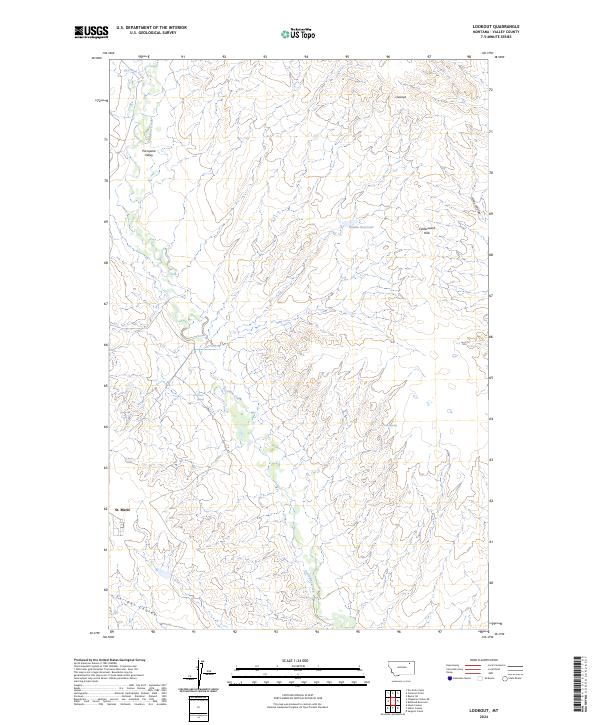
2024 Map of Lookout
USGS Topo · Published 2024About this map
St. Marie anchors the southwestern corner of this Valley County landscape, a modern settlement established in a high plains environment defined by intermittent drainages and coulees. The terrain is shaped by the Calderwood Hills and the broad Porcupine Valley, where the winding course of Porcupine Creek and Dry Fork Creek cut through the arid soil. Human adaptation to this environment is evident in the water management features like Middle Reservoir and the naming of local water sources such as Olson Springs and Potter Spring. This 2024 survey reflects the modern agricultural and residential layout of the region, where township lines like t31n r41e organize a territory otherwise characterized by natural landmarks such as Enright Coulee and Hoy Coulee.
Find a feature on this map
17 named features on this map. Tap any name to fly to it.
Don’t see what you’re looking for? This feature index may not catch every label — zoom into the map to look around manually.
Map Details
Editions of this 2024 Lookout Map
This is the sole edition of this map. No revisions or reprints were ever made.
Other maps of this area

1918 · Porcupine Valley
USGS Topo · 1:62,500

1919 · Boundary
USGS Topo · 1:125,000

1943 · Glasgow
USGS Topo · 1:125,000

1954 · Glasgow
USGS Topo · 1:250,000

1957 · Glasgow
USGS Topo · 1:250,000

1958 · Glasgow
USGS Topo · 1:250,000

1969 · Chapman Coulee NE
USGS Topo · 1:24,000

1969 · Hawk Coulee
USGS Topo · 1:24,000

1973 · Baylor SE
USGS Topo · 1:24,000

1973 · Cameron Point
USGS Topo · 1:24,000