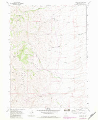
1968 Map of Loomis Mtn
USGS Topo · Published 1983About this map
Schoer Place stands as a primary point of human settlement in this high-altitude landscape within the Snake Mountains. The 1968 survey reveals a terrain defined by its water sources, with names like Bull Spring, Cold Spring, and Willow Springs indicating the vital importance of these points for ranching or travel. Resource extraction is evident through scattered Prospect sites and a Pit located near the headwaters of the South Fork Loomis Creek.
Find a feature on this map
24 named features on this map. Tap any name to fly to it.
Don’t see what you’re looking for? This feature index may not catch every label — zoom into the map to look around manually.
Map Details
Editions of this 1968 Loomis Mtn Map
3 editions found
Other maps of this area

1955 · Wells
USGS Topo · 1:250,000

1958 · Wells
USGS Topo · 1:250,000

1961 · Wells
USGS Topo · 1:250,000

1967 · Black Butte
USGS Topo · 1:24,000

1967 · Black Butte NE
USGS Topo · 1:24,000

1968 · Wilkins
USGS Topo · 1:24,000

1968 · Melandco
USGS Topo · 1:24,000

1968 · Summer Camp
USGS Topo · 1:24,000
1968 · Loomis Mtn
USGS Topo · 1:24,000
1968 · Harris Canyon
USGS Topo · 1:24,000