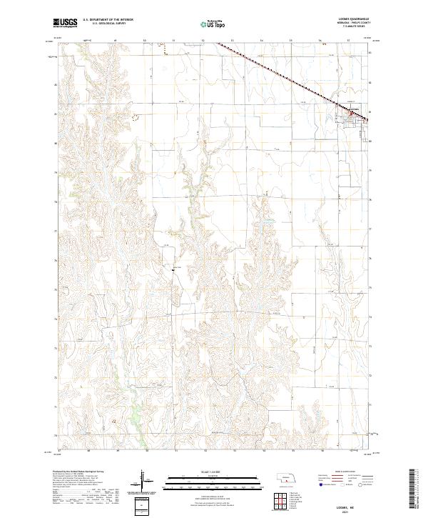
2021 Map of Loomis
USGS Topo · Published 2021About this map
The village of Loomis serves as the primary hub of this Phelps County landscape, where the flat upland agricultural plains begin to break into the drainage systems of Elm Cr and Deep Cr. The town's grid is clearly defined by streets such as Pacific St and Clifton St, situated along the rail corridor. Further south, the Shaw Cem stands as a quiet marker of the area's rural heritage, located just north of the township line between t6n r20w and t5n r20w. This 2021 survey by the U.S. Geological Survey illustrates a modern Nebraska landscape dominated by section-line roads like Eagle Rd and Rock Falls Rd, which navigate around topographic features like the Johnson Reservoir.
Find a feature on this map
23 named features on this map. Tap any name to fly to it.
Don’t see what you’re looking for? This feature index may not catch every label — zoom into the map to look around manually.
Map Details
Editions of this 2021 Loomis Map
This is the sole edition of this map. No revisions or reprints were ever made.
Other maps of this area

1896 · Lexington
USGS Topo · 1:125,000

1896 · Holdrege
USGS Topo · 1:125,000

1896 · Kearney
USGS Topo · 1:125,000

1896 · Arapahoe
USGS Topo · 1:125,000

1898 · Arapahoe
USGS Topo · 1:125,000

1899 · Lexington
USGS Topo · 1:125,000

1955 · Grand Island
USGS Topo · 1:250,000

1957 · Grand Island
USGS Topo · 1:250,000

1958 · Grand Island
USGS Topo · 1:250,000

1958 · Mascot
USGS Topo · 1:24,000