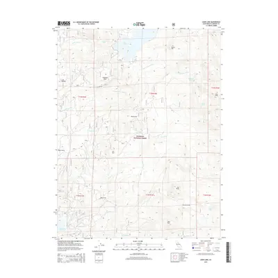
2015 Map of Loon Lake
USGS Topo · Published 2015About this map
Eldorado National Forest defines the character of this mountain landscape, which is dominated by significant water features and peaks. The drainage system of the S Fork Rubicon River and its tributaries, including Bassi Fork and Tells Cr, shapes the topography around high-elevation landmarks such as Tells Peak and Brown Mtn. Localized names like Robbs Valley, Wench Flat, and Morattini Flat suggest areas of historical grazing or seasonal settlement within the forest. Major reservoirs like Loon Lake and the northern edge of Union Valley Reservoir indicate the role of the region in hydroelectric and water storage systems. Connectivity through the granite-lined terrain is limited to routes such as Ice House Rd, while interior points like Chipmunk Bluff and Slick Rock provide navigational markers for those traversing the backcountry between Shadow Lake and Berts Lake.
Find a feature on this map
34 named features on this map. Tap any name to fly to it.
Don’t see what you’re looking for? This feature index may not catch every label — zoom into the map to look around manually.
Map Details
Editions of this 2015 Loon Lake Map
This is the sole edition of this map. No revisions or reprints were ever made.
Other maps of this area

1889 · Pyramid Peak
USGS Topo · 1:125,000

1891 · Truckee
USGS Topo · 1:125,000

1891 · Pyramid Peak
USGS Topo · 1:125,000

1893 · Truckee
USGS Topo · 1:125,000

1895 · Pyramid Peak
USGS Topo · 1:125,000

1895 · Truckee
USGS Topo · 1:125,000

1896 · Pyramid Peak
USGS Topo · 1:125,000

1932 · Truckee
USGS Topo · 1:96,000

1940 · Truckee
USGS Topo · 1:125,000

1947 · Sacramento
USGS Topo · 1:250,000