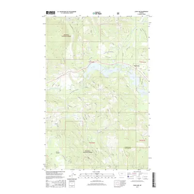
2017 Map of Loon Lake
USGS Topo · Published 2017About this map
Happys Inn serves as a central point of reference in this corner of the Kootenai National Forest, situated along the eastern edge of a dense network of forest roads and glacial lakes. The landscape is defined by the winding course of the Pleasant Valley Fisher River and a chain of water bodies including Loon Lake, Leon Lake, and Lavon Lake. To the west, the terrain rises toward Fritz Mountain, while the southern reaches of the map transition into the open spaces of Elk Park and McGinnis Meadows. This 2017 survey illustrates the modern management of these timberlands, showing the complex intersection of numbered forest development roads like Natl Forest Develop Road 535 Rd and local routes like McKillop Creek Rd that provide access to the interior for recreation and industry.
Find a feature on this map
39 named features on this map. Tap any name to fly to it.
Don’t see what you’re looking for? This feature index may not catch every label — zoom into the map to look around manually.
Map Details
Editions of this 2017 Loon Lake Map
This is the sole edition of this map. No revisions or reprints were ever made.
Other maps of this area

1920 · Jennings
USGS Topo · 1:125,000

1935 · Thompson Lakes
USGS Topo · 1:96,000

1937 · Thompson Falls
USGS Topo · 1:125,000

1942 · Thompson Lakes
USGS Topo · 1:125,000

1956 · Wallace
USGS Topo · 1:250,000

1957 · Kalispell
USGS Topo · 1:250,000

1960 · Kalispell
USGS Topo · 1:250,000

1960 · Wallace
USGS Topo · 1:250,000

1961 · Kalispell
USGS Topo · 1:250,000
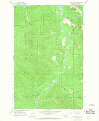
1966 · Fisher Mountain
USGS Topo · 1:24,000