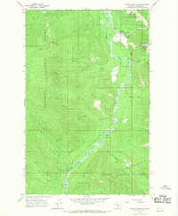
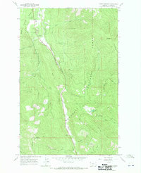
1966 Map of Fisher Mountain
USGS Topo · Published 1970About this map
The Fisher Mountain wilderness, located within the expansive Kootenai National Forest, is defined by the winding course of the Fisher River as it moves through the northern Rockies. This mid-1960s survey documents a landscape dominated by timber and topographic relief, where human infrastructure is limited to the Great Northern rail line and its associated Fisher River Siding near the confluence with Wolf Creek. A network of historic pack routes, including the Fisher Mountain Trail and the Divide Trail (Pack), indicates the primary means of navigating these high-elevation ridges. The map also records essential mountain utility points like a Gaging Sta and a small Gravel Pit, alongside recreational spots such as a riverside Campground and multiple picnic areas, highlighting the dual identity of the region as both a working forest and a burgeoning outdoor destination.
Find a feature on this map
25 named features on this map. Tap any name to fly to it.
Don’t see what you’re looking for? This feature index may not catch every label — zoom into the map to look around manually.
Map Details
Editions of this 1966 Fisher Mountain Map
2 editions found
Other maps of this area

1920 · Jennings
USGS Topo · 1:125,000

1935 · Thompson Lakes
USGS Topo · 1:96,000

1942 · Thompson Lakes
USGS Topo · 1:125,000

1957 · Kalispell
USGS Topo · 1:250,000

1960 · Kalispell
USGS Topo · 1:250,000

1961 · Kalispell
USGS Topo · 1:250,000

1963 · Swede Mountain
USGS Topo · 1:24,000
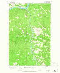
1963 · Tony Peak
USGS Topo · 1:24,000
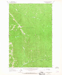
1963 · Richards Mountain
USGS Topo · 1:24,000
1966 · Horse Mountain
USGS Topo · 1:24,000