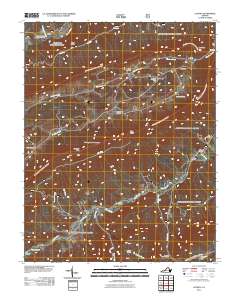
2011 Map of Looney
USGS Topo · Published 2011About this map
Craig Creek snakes through this mountain landscape, anchoring a valley defined by family-named landmarks and high ridges like Sinking Creek Mountain and Piney Ridge. The settlement pattern centers on small communities such as Abbott, Looney, and Lee Hollow, where the geography dictated the placement of homesteads and small-scale industry. A high density of burial sites, including the Caldwell Cemetery, Huffman Cemetery, and Paitsel Cemetery, provides a rich record of the area's genealogical history. Notable landmarks like the Dragons Tooth Trailhead and Chimney Rock highlight the prominent terrain, while Webbs Mill on the creek suggests a legacy of local milling. This survey captures a moment when the rugged terrain of Millers Cove and McAfee Gap remained largely defined by these long-standing rural points of interest.
Find a feature on this map
37 named features on this map. Tap any name to fly to it.
Don’t see what you’re looking for? This feature index may not catch every label — zoom into the map to look around manually.
Map Details
Editions of this 2011 Looney Map
This is the sole edition of this map. No revisions or reprints were ever made.
Other maps of this area

1887 · Lewisburg
USGS Topo · 1:125,000

1890 · Christiansburg
USGS Topo · 1:125,000

1891 · Lewisburg
USGS Topo · 1:125,000

1921 · Ronceverte
USGS Topo · 1:48,000

1923 · Ronceverte
USGS Topo · 1:62,500

1923 · Waiteville
USGS Topo · 1:62,500

1929 · Salem
USGS Topo · 1:48,000

1931 · Waiteville
USGS Topo · 1:48,000

1932 · Salem
USGS Topo · 1:62,500

1944 · Waiteville
USGS Topo · 1:62,500