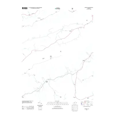
2013 Map of Looney
USGS Topo · Published 2013About this map
Webbs Mill and the crossroads of Looney anchor this mountainous section of Craig County, where the hydrology of Craig Cr and Sinking Cr has long shaped local movement. The terrain is dominated by the high ridgeline of Sinking Creek Mountain and prominent peaks like Earn Knob and Aps Knob. This landscape is marked by unusual geological and recreational features, including the notable cavern entrance at Murder Hole and the popular Dragons Tooth Trailhead near McAfee Gap. Small settlements like Abbott and Gunn appear along the valley floors, connected by a network of winding roads including State Rte 620 and Turnpike Cr. The presence of Meadow Creek Falls and the deep indentation of Millers Cove reflect a rugged Appalachian geography where early industrial sites like the mill at Webbs Mill were naturally positioned along the flowing waters of the gap.
Find a feature on this map
35 named features on this map. Tap any name to fly to it.
Don’t see what you’re looking for? This feature index may not catch every label — zoom into the map to look around manually.
Map Details
Editions of this 2013 Looney Map
This is the sole edition of this map. No revisions or reprints were ever made.
Other maps of this area

1887 · Lewisburg
USGS Topo · 1:125,000

1890 · Christiansburg
USGS Topo · 1:125,000

1891 · Lewisburg
USGS Topo · 1:125,000

1921 · Ronceverte
USGS Topo · 1:48,000

1923 · Ronceverte
USGS Topo · 1:62,500

1923 · Waiteville
USGS Topo · 1:62,500

1929 · Salem
USGS Topo · 1:48,000

1931 · Waiteville
USGS Topo · 1:48,000

1932 · Salem
USGS Topo · 1:62,500

1944 · Waiteville
USGS Topo · 1:62,500