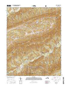
2016 Map of Looney
USGS Topo · Published 2016About this map
Jefferson National Forest dominates this section of the Blue Ridge, where the Appalachian National Scenic Trail winds across high ridgelines including Brush Mtn and Cove Mtn. The landscape is defined by its deep gaps and mountain saddles, notably McAfee Gap at the southern edge where the terrain transitions toward the Catawba Valley. Small valley settlements such as Webbs Mill and the eponymous Looney are tucked between the massive folds of Johns Creek Mtn and Sinking Creek Mtn. Numerous family burial grounds, including Huffman Cem, Brickey Cem, and Leffel Cem, are scattered throughout these hollows, providing a genealogical record of the families who settled this challenging topography. The network of drainage, including Craig Creek and Meadow Cr, dictates the placement of historic routes like State Rte 621 that follow the natural contours of the valley floors.
Find a feature on this map
45 named features on this map. Tap any name to fly to it.
Don’t see what you’re looking for? This feature index may not catch every label — zoom into the map to look around manually.
Map Details
Editions of this 2016 Looney Map
This is the sole edition of this map. No revisions or reprints were ever made.
Other maps of this area

1887 · Lewisburg
USGS Topo · 1:125,000

1890 · Christiansburg
USGS Topo · 1:125,000

1891 · Lewisburg
USGS Topo · 1:125,000

1921 · Ronceverte
USGS Topo · 1:48,000

1923 · Ronceverte
USGS Topo · 1:62,500

1923 · Waiteville
USGS Topo · 1:62,500

1929 · Salem
USGS Topo · 1:48,000

1931 · Waiteville
USGS Topo · 1:48,000

1932 · Salem
USGS Topo · 1:62,500

1944 · Waiteville
USGS Topo · 1:62,500