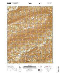
2019 Map of Looney
USGS Topo · Published 2019About this map
The mountain gap at McAfee Gap and the surrounding reaches of Jefferson National Forest characterize this part of the Virginia highlands. Settled pockets like Abbott and Looney occupy the narrow valley floors between high ridges, connected by the winding route of Va-624 and the Appalachian National Scenic Trail. The landscape is dotted with family cemeteries, including the Looney Cem, Harper Cem, and Paitzel Cem, documenting generations of residents in this remote corner of Craig and Roanoke Counties.
Find a feature on this map
46 named features on this map. Tap any name to fly to it.
Don’t see what you’re looking for? This feature index may not catch every label — zoom into the map to look around manually.
Map Details
Editions of this 2019 Looney Map
This is the sole edition of this map. No revisions or reprints were ever made.
Other maps of this area

1887 · Lewisburg
USGS Topo · 1:125,000

1890 · Christiansburg
USGS Topo · 1:125,000

1891 · Lewisburg
USGS Topo · 1:125,000

1921 · Ronceverte
USGS Topo · 1:48,000

1923 · Ronceverte
USGS Topo · 1:62,500

1923 · Waiteville
USGS Topo · 1:62,500

1929 · Salem
USGS Topo · 1:48,000

1931 · Waiteville
USGS Topo · 1:48,000

1932 · Salem
USGS Topo · 1:62,500

1944 · Waiteville
USGS Topo · 1:62,500