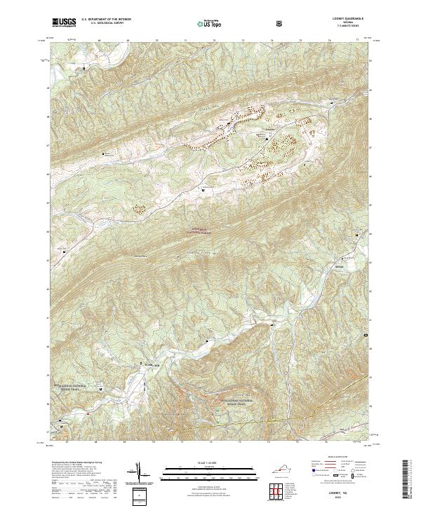
2022 Map of Looney
USGS Topo · Published 2022About this map
Family cemeteries and small mountain settlements define this landscape within the Jefferson National Forest. The map documents a cluster of homestead history, including the Snodgrass Family Cem, Rowan Family Cem, and Leffel Walker Family Cem, alongside established points like Looney and Abbott. The rugged topography is dominated by massive ridges such as Johns Creek Mtn and Sinking Creek Mtn, which frame the drainage basins of Craig Creek and Meadow Cr.
Find a feature on this map
48 named features on this map. Tap any name to fly to it.
Don’t see what you’re looking for? This feature index may not catch every label — zoom into the map to look around manually.
Map Details
Editions of this 2022 Looney Map
This is the sole edition of this map. No revisions or reprints were ever made.
Other maps of this area

1887 · Lewisburg
USGS Topo · 1:125,000

1890 · Christiansburg
USGS Topo · 1:125,000

1891 · Lewisburg
USGS Topo · 1:125,000

1921 · Ronceverte
USGS Topo · 1:48,000

1923 · Ronceverte
USGS Topo · 1:62,500

1923 · Waiteville
USGS Topo · 1:62,500

1929 · Salem
USGS Topo · 1:48,000

1931 · Waiteville
USGS Topo · 1:48,000

1932 · Salem
USGS Topo · 1:62,500

1944 · Waiteville
USGS Topo · 1:62,500