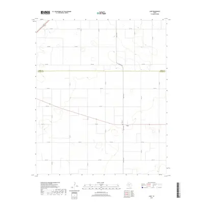
2019 Map of Loop
USGS Topo · Published 2019About this map
Loop sits at the heart of this West Texas landscape, positioned just south of the straight-line boundary separating Terry Co and Gaines Co. The survey illustrates a high-plains geography defined by a rigid grid of rural roads and the intersection of Ranch Rd 303 with local thoroughfares like Tate St. The terrain is marked by numerous small depressions and intermittent water features common to the Llano Estacado region, suggesting a landscape shaped by seasonal hydrology and agriculture.
Find a feature on this map
22 named features on this map. Tap any name to fly to it.
Don’t see what you’re looking for? This feature index may not catch every label — zoom into the map to look around manually.
Map Details
Editions of this 2019 Loop Map
This is the sole edition of this map. No revisions or reprints were ever made.
Other maps of this area

1954 · Hobbs
USGS Topo · 1:250,000

1954 · Brownfield
USGS Topo · 1:250,000

1958 · Brownfield
USGS Topo · 1:250,000

1958 · Hobbs
USGS Topo · 1:250,000

1962 · Brownfield
USGS Topo · 1:250,000

1969 · Foster
USGS Topo · 1:24,000

1969 · Loop
USGS Topo · 1:24,000

1969 · Ashmore
USGS Topo · 1:24,000

1969 · Wellman
USGS Topo · 1:24,000

1970 · Seagraves SE
USGS Topo · 1:24,000