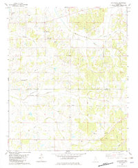
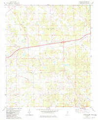
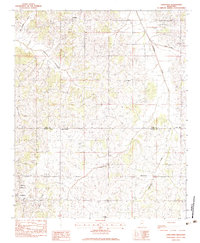
1982 Map of Looxahoma
USGS Topo · Published 1982About this map
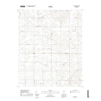
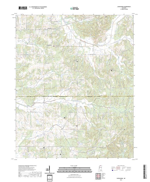
Looxahoma sits near the northern boundary of this North Mississippi landscape, where the terrain is marked by a network of rural churches and small aviation facilities. The community is anchored by Looxahoma Ch and the nearby Looxahoma Cem, while the southern reaches feature the Glenville Lookout Tower near the Tate and Panola County line. The map reveals a distinct pattern of small private airfields, including the Taylor Landing Strip and Ladd Landing Strip, suggesting a reliance on light aircraft for local transportation or agricultural use in the early 1980s.
Find a feature on this map
29 named features on this map. Tap any name to fly to it.
Don’t see what you’re looking for? This feature index may not catch every label — zoom into the map to look around manually.
Map Details
Editions of this 1982 Looxahoma Map
This is the sole edition of this map. No revisions or reprints were ever made.
Historical Maps of Looxahoma Through Time
57 maps found
1975 Sardis NW
Panola County, MS

1975 Sardis SW
Panola County, MS
1975 Senatobia SW
Panola County, MS
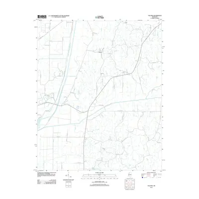
1982 Looxahoma
Panola County, MS
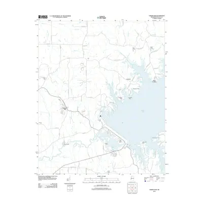
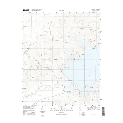
1982 Sardis Dam
Panola County, MS
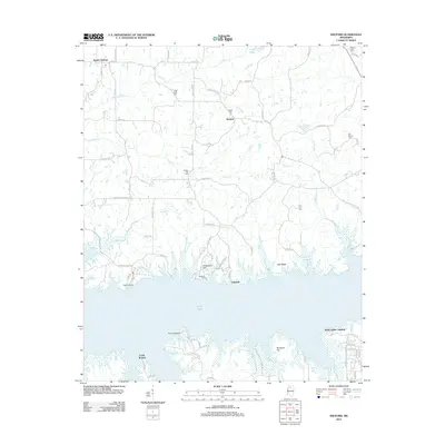
1982 Sardis SE
Panola County, MS
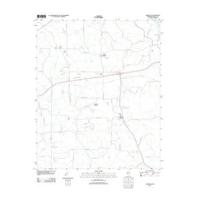
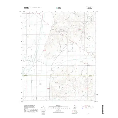
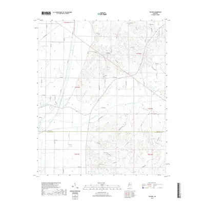
1982 Tocowa
Panola County, MS
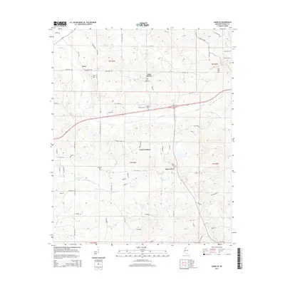
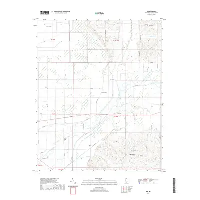
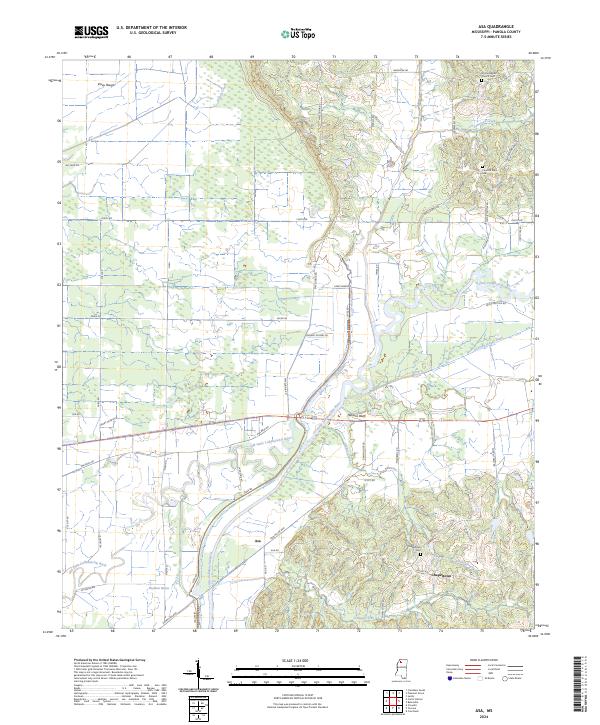
1983 Asa
Panola County, MS
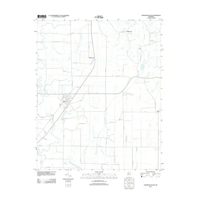
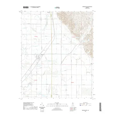
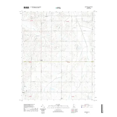
1983 Crenshaw South
Panola County, MS
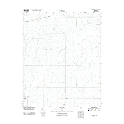
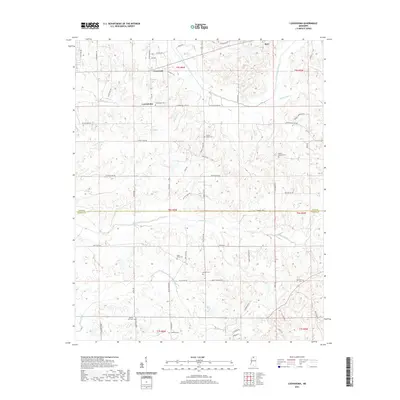
1983 Longtown
Panola County, MS
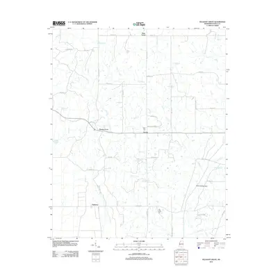
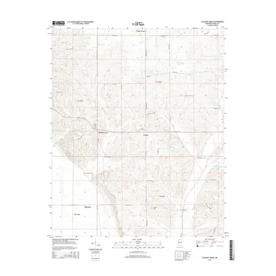
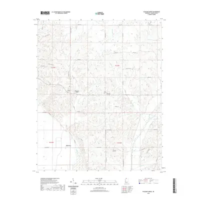
1983 Pleasant Grove
Panola County, MS
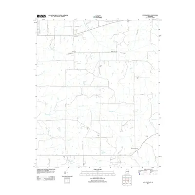
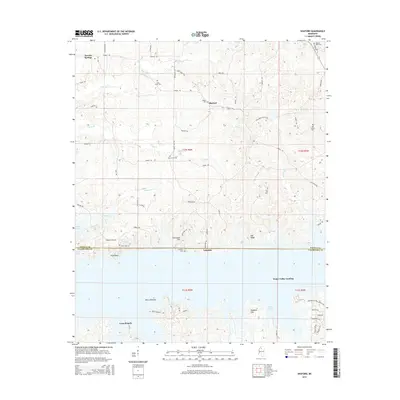
1983 Shuford
Panola County, MS
2012 Asa
Panola County, MS
2012 Crenshaw South
Panola County, MS
2012 Longtown
Panola County, MS
2012 Looxahoma
Panola County, MS
2012 Pleasant Grove
Panola County, MS
2012 Sardis Dam
Panola County, MS
2012 Sardis SE
Panola County, MS
2012 Shuford
Panola County, MS
2012 Tocowa
Panola County, MS
2015 Asa
Panola County, MS
2015 Crenshaw South
Panola County, MS
2015 Longtown
Panola County, MS
2015 Looxahoma
Panola County, MS
2015 Pleasant Grove
Panola County, MS
2015 Sardis Dam
Panola County, MS
2015 Sardis SE
Panola County, MS
2015 Shuford
Panola County, MS
2015 Tocowa
Panola County, MS
2018 Asa
Panola County, MS
2018 Crenshaw South
Panola County, MS
2018 Longtown
Panola County, MS
2018 Looxahoma
Panola County, MS
2018 Pleasant Grove
Panola County, MS
2018 Sardis Dam
Panola County, MS
2018 Sardis SE
Panola County, MS
2018 Shuford
Panola County, MS
2018 Tocowa
Panola County, MS
2020 Asa
Panola County, MS
2020 Crenshaw South
Panola County, MS
2020 Longtown
Panola County, MS
2020 Pleasant Grove
Panola County, MS
2020 Tocowa
Panola County, MS
2021 Looxahoma
Panola County, MS
2021 Sardis Dam
Panola County, MS
2021 Sardis SE
Panola County, MS
2021 Shuford
Panola County, MS
2024 Asa
Panola County, MS
2024 Crenshaw South
Panola County, MS
2024 Longtown
Panola County, MS
2024 Looxahoma
Panola County, MS
2024 Pleasant Grove
Panola County, MS
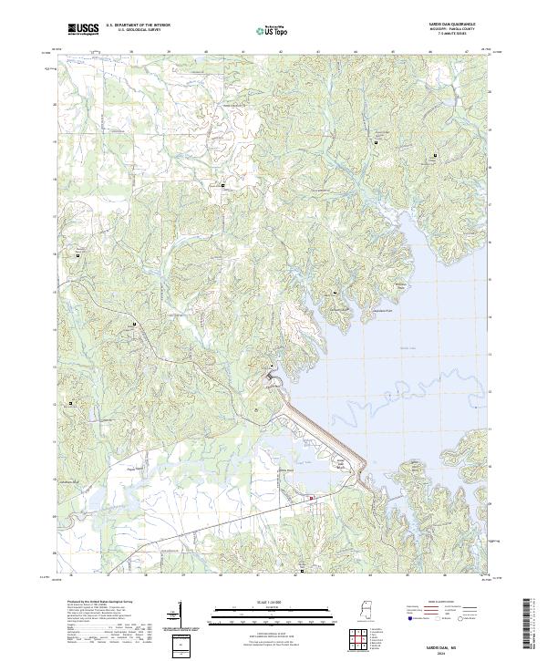
2024 Sardis Dam
Panola County, MS
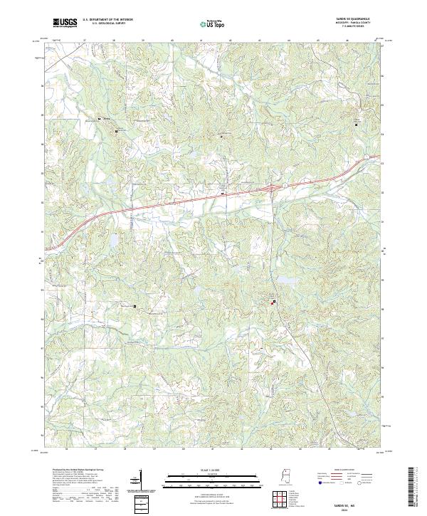
2024 Sardis SE
Panola County, MS
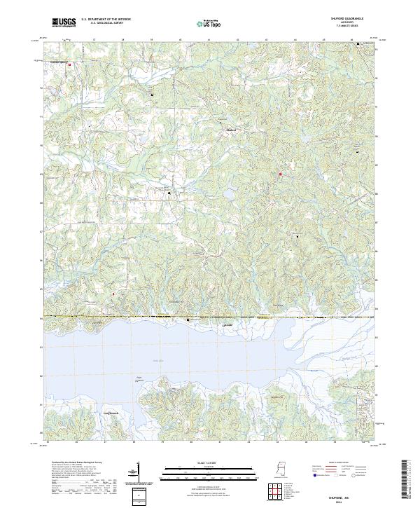
2024 Shuford
Panola County, MS
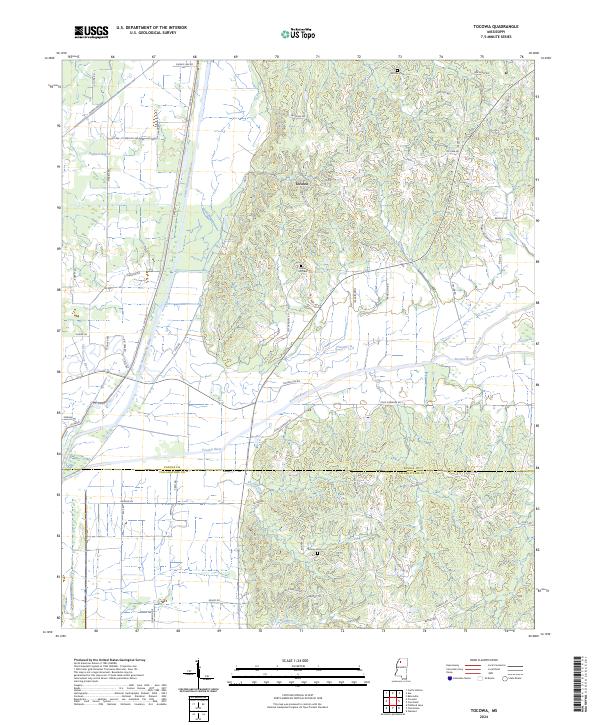
2024 Tocowa
Panola County, MS