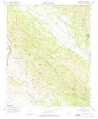
1965 Map of Lopez Mountain
USGS Topo · Published 1974About this map
Los Padres National Forest dominates this mid-1960s landscape, where the Santa Lucia Range transitions into a network of steep canyons and ridges. Water management and conservation are central to the area's layout, anchored by Santa Margarita Lake and the winding Salinas River in the northeast. The map documents early infrastructure such as the Mt Lowe Radio Facility and an Oil Well tucked near Hampton Canyon, illustrating the remote industrial activity within the public lands. Recreation is noted through sites like Upper Lopez Campground and the Sulphur Pots Campground, which sit deep within the drainage of Lopez Canyon. The survey captures a moment before major modern development, showing the primary access via Pozo Road and a series of primitive tracks leading to peaks like Lopez Mtn and Gay Mtn.
Find a feature on this map
33 named features on this map. Tap any name to fly to it.
Don’t see what you’re looking for? This feature index may not catch every label — zoom into the map to look around manually.
Map Details
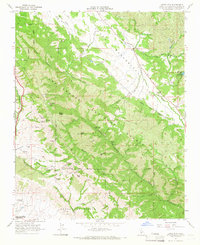
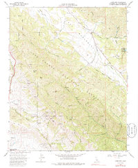
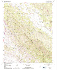
Editions of this 1965 Lopez Mountain Map
4 editions found
Other maps of this area

1897 · San Luis Obispo
USGS Topo · 1:62,500

1897 · Arroyo Grande
USGS Topo · 1:62,500

1900 · San Luis
USGS Topo · 1:125,000

1922 · Pozo
USGS Topo · 1:62,500

1922 · Nipomo
USGS Topo · 1:62,500

1942 · San Luis Obispo
USGS Topo · 1:62,500

1942 · Arroyo Grande
USGS Topo · 1:62,500

1947 · San Luis Obispo
USGS Topo · 1:250,000

1948 · San Luis Obispo
USGS Topo · 1:250,000

1952 · Arroyo Grande
USGS Topo · 1:62,500