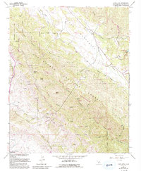
1965 Map of Lopez Mountain
USGS Topo · Published 1993About this map
The Santa Lucia Wilderness and Los Padres National Forest dominate this rugged coastal interior, where steep canyons and sharp peaks define the landscape northeast of San Luis Obispo. In the north, the Salinas River winds through the canyons near Fivemile Bridge, while the headwaters of Lopez Creek and Corral de Piedra Creek carve through the southern ridges. The presence of the Sulphur Pots near Gay Mtn and the distinct peak of Mt Lowe suggest a geography shaped by geological diversity and remote natural springs. This terrain, marked by notable features like Big Falls and Black Butte, highlights the transition from the cultivated valleys near the coast to the high wilderness of the Santa Lucia Range. Settlement is sparse, limited to the fringes of the mountains and the Santa Margarita Lake area, leaving the interior largely defined by natural landmarks like Pine Ridge and Lopez Mtn.
Find a feature on this map
37 named features on this map. Tap any name to fly to it.
Don’t see what you’re looking for? This feature index may not catch every label — zoom into the map to look around manually.
Map Details
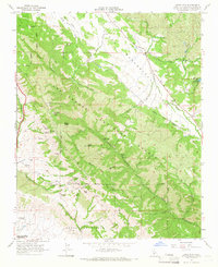
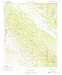
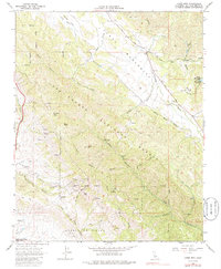
Editions of this 1965 Lopez Mountain Map
4 editions found
Other maps of this area

1897 · San Luis Obispo
USGS Topo · 1:62,500

1897 · Arroyo Grande
USGS Topo · 1:62,500

1900 · San Luis
USGS Topo · 1:125,000

1922 · Pozo
USGS Topo · 1:62,500

1922 · Nipomo
USGS Topo · 1:62,500

1942 · San Luis Obispo
USGS Topo · 1:62,500

1942 · Arroyo Grande
USGS Topo · 1:62,500

1947 · San Luis Obispo
USGS Topo · 1:250,000

1948 · San Luis Obispo
USGS Topo · 1:250,000

1952 · Arroyo Grande
USGS Topo · 1:62,500