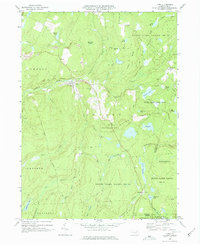
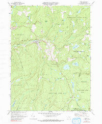
1969 Map of Lopez
USGS Topo · Published 1977About this map
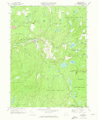
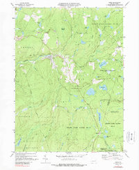
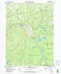
Lopez serves as the primary hub in this corner of the Pennsylvania Endless Mountains, situated at the confluence of Lopez Creek and Loyalsock Creek. The 1969 landscape is defined by its transition from industrial extraction to conservation, with numerous Strip Mine sites and a Quarry dotting the plateaus while vast tracts are preserved as State Game Lands No 66 and Ricketts Glen State Park. For the genealogist, the map identifies local landmarks such as St Vladimirs Ch and its accompanying St Vladimirs Cem, along with the Junk Cem near McCarroll Corner. The transportation history of the region is evident in the Old Railroad Grade that winds through the creek valleys and the historic route of the Berwick Turnpike cutting through the southern townships of La Porte and Davidson. Numerous water features, from Splashdam Pond to the high-elevation Lake John, underscore the area's complex drainage network.
Find a feature on this map
63 named features on this map. Tap any name to fly to it.
Don’t see what you’re looking for? This feature index may not catch every label — zoom into the map to look around manually.
Map Details
Editions of this 1969 Lopez Map
5 editions found
Other maps of this area

1891 · Harveys Lake
USGS Topo · 1:62,500

1893 · Harvey Lake
USGS Topo · 1:62,500

1934 · Laporte
USGS Topo · 1:62,500

1943 · Monroeton
USGS Topo · 1:62,500

1945 · Meshoppen
USGS Topo · 1:62,500

1945 · Jenningsville
USGS Topo · 1:24,000

1946 · Dutch Mtn
USGS Topo · 1:24,000

1946 · Sweet Valley
USGS Topo · 1:24,000

1947 · Jenningsville
USGS Topo · 1:31,680
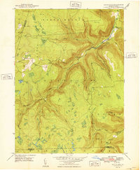
1948 · Dutch Mtn
USGS Topo · 1:24,000
Featured Places
- Colley Township, PA
- Forkston Township, PA
- Davidson Township, PA
- Laporte Township, PA
- Murray, Colley Township