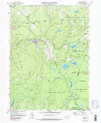
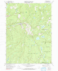
1969 Map of Lopez
USGS Topo · Published 1991About this map
The coal and timber landscape of northeastern Pennsylvania is defined here by the small settlements of Lopez and Murray, situated along the upper reaches of Loyalsock Creek. This 1969 survey reveals a topography heavily influenced by early industrial activity, including a Strip Mine north of Murray and several sections of Old Railroad Grade that once connected these upland communities to larger markets. Cultural landmarks like St Vladimirs Ch and St Vladimirs Cem in the Lopez vicinity speak to the ethnic heritage of the labor force that worked these mountains. The southern and eastern portions of the map transition into the expansive State Game Lands No 66 and Ricketts Glen State Park, where the land is dominated by high plateaus like Dutch Mountain and a network of marshes and runs, including Pine Marsh Creek and Painter Den Pond.
Find a feature on this map
58 named features on this map. Tap any name to fly to it.
Don’t see what you’re looking for? This feature index may not catch every label — zoom into the map to look around manually.
Map Details
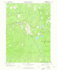
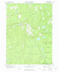
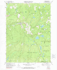
Editions of this 1969 Lopez Map
5 editions found
Other maps of this area

1891 · Harveys Lake
USGS Topo · 1:62,500

1893 · Harvey Lake
USGS Topo · 1:62,500

1934 · Laporte
USGS Topo · 1:62,500

1943 · Monroeton
USGS Topo · 1:62,500

1945 · Meshoppen
USGS Topo · 1:62,500

1945 · Jenningsville
USGS Topo · 1:24,000

1946 · Dutch Mtn
USGS Topo · 1:24,000

1946 · Sweet Valley
USGS Topo · 1:24,000

1947 · Jenningsville
USGS Topo · 1:31,680
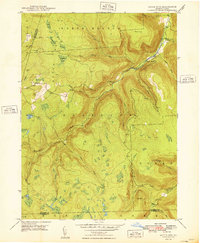
1948 · Dutch Mtn
USGS Topo · 1:24,000
Featured Places
- Colley Township, PA
- Forkston Township, PA
- Davidson Township, PA
- Laporte Township, PA
- Murray, Colley Township