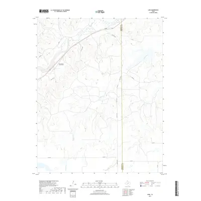
2019 Map of Lora
USGS Topo · Published 2019About this map
Washita River drainage systems define the rugged Panhandle landscape in this eastern portion of Roberts County. The small settlement of Lora sits at the northern edge of the sheet, positioned along the transportation corridor that parallels Red Deer Creek. This 2019 survey documents the transition between the rolling uplands and the river valley, where the Miami-Roberts County Airport provides a modern aviation anchor for the local ranching community. The drainage of Red Deer Cr and the presence of Gill Lake indicate the vital role of water management in this semi-arid region. Rural infrastructure is well-represented through a network of named routes such as Ranch Rd 3367 and Locke Rd, which connect remote homesteads across the Roberts County and Hemphill County boundary line.
Find a feature on this map
16 named features on this map. Tap any name to fly to it.
Don’t see what you’re looking for? This feature index may not catch every label — zoom into the map to look around manually.
Map Details
Editions of this 2019 Lora Map
This is the sole edition of this map. No revisions or reprints were ever made.
Other maps of this area

1954 · Amarillo
USGS Topo · 1:250,000

1958 · Amarillo
USGS Topo · 1:250,000

1963 · Mobeetie
USGS Topo · 1:24,000

1966 · Laketon
USGS Topo · 1:24,000

1967 · Mendota
USGS Topo · 1:24,000

1967 · Young Ranch
USGS Topo · 1:24,000

1967 · Tody School
USGS Topo · 1:24,000

1967 · Lora
USGS Topo · 1:24,000

1972 · Washburn Arroyo
USGS Topo · 1:24,000

1972 · Miami
USGS Topo · 1:24,000