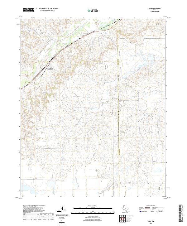
2022 Map of Lora
USGS Topo · Published 2022About this map
The Washita River carves a winding path through the northern Texas Panhandle on this Roberts County landscape. The terrain is defined by the sharp drainage systems of Red Deer Creek and several unnamed tributaries that feed into the river valley. The small community of Lora sits in the northern section along a rail corridor, while the Miami-Roberts County Airport provides an essential connection for this rural ranching region. The map highlights the transition between the rolling plains and the more dissected river breaks, showing a network of rural routes such as Ranch Rd 3367 and Locke Rd that service the surrounding cattle country. Near the southern edge, Gill Lake and local roads like S Loop Rd provide additional landmarks in this sparsely populated portion of the state.
Find a feature on this map
16 named features on this map. Tap any name to fly to it.
Don’t see what you’re looking for? This feature index may not catch every label — zoom into the map to look around manually.
Map Details
Editions of this 2022 Lora Map
This is the sole edition of this map. No revisions or reprints were ever made.
Other maps of this area

1954 · Amarillo
USGS Topo · 1:250,000

1958 · Amarillo
USGS Topo · 1:250,000

1963 · Mobeetie
USGS Topo · 1:24,000

1966 · Laketon
USGS Topo · 1:24,000

1967 · Mendota
USGS Topo · 1:24,000

1967 · Young Ranch
USGS Topo · 1:24,000

1967 · Tody School
USGS Topo · 1:24,000

1967 · Lora
USGS Topo · 1:24,000

1972 · Washburn Arroyo
USGS Topo · 1:24,000

1972 · Miami
USGS Topo · 1:24,000