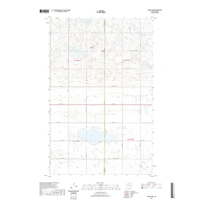
2020 Map of Lords Lake
USGS Topo · Published 2020About this map
Lords Lake dominates the central landscape of this northern prairie region, sitting at the junction of Rolette and Bottineau counties. To the north, the terrain rises into the Turtle Mountains, where the prominent elevation of Butte Saint Paul stands near Butte Lake and Platte Lake. This survey illustrates a characteristic High Plains township and range system, where a precise grid of rural roads like 24th Ave NE and 96th St NE segments the land for agricultural use. The drainage network is defined by small watercourses such as Willow Cr in the northeast and Miller Cr in the southwest, reflecting the glacial pothole topography of the North Dakota borderlands. While largely open country, the map serves as a detailed record of land divisions and hydrologic features near the international boundary.
Find a feature on this map
24 named features on this map. Tap any name to fly to it.
Don’t see what you’re looking for? This feature index may not catch every label — zoom into the map to look around manually.
Map Details
Editions of this 2020 Lords Lake Map
This is the sole edition of this map. No revisions or reprints were ever made.
Other maps of this area

1935 · Dunseith
USGS Topo · 1:48,000

1939 · Dunseith
USGS Topo · 1:62,500

1954 · Omemee
USGS Topo · 1:24,000

1954 · Minot
USGS Topo · 1:250,000

1955 · Fonda
USGS Topo · 1:24,000

1955 · Lords Lake
USGS Topo · 1:24,000

1955 · Dunseith
USGS Topo · 1:24,000

1955 · Overly
USGS Topo · 1:24,000

1955 · Bottineau SE
USGS Topo · 1:24,000

1956 · Metigoshe Lake
USGS Topo · 1:24,000