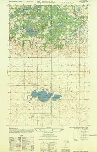
1956 Map of Lords Lake
USGS Topo · Published 1959About this map
The Turtle Mountains rise across the northern half of this landscape, a glaciated plateau characterized by an intricate network of small lakes and wooded rises. The Butte St Paul Historic Site stands as a prominent landmark within this upland, overlooking Butte Lake and nearby Deerheart Lodge. This mid-century survey illustrates the rural organization of North Dakota's border country, where the townships of Cordelia and Lordsburg are divided by a clear section line grid that accommodates both agriculture and conservation. In the southern lowlands, the Lords Lake National Wildlife Refuge encompasses the waters of Lords Lake. Local education is anchored by several small institutions, including School No 1, Guimond Sch, and Nilsson Sch, reflecting the distributed settlement pattern of the era. The boundary between Bottineau Co and Rolette Co bisects the terrain, separating the mountain uplands from the creek-fed plains to the east.
Find a feature on this map
16 named features on this map. Tap any name to fly to it.
Don’t see what you’re looking for? This feature index may not catch every label — zoom into the map to look around manually.
Map Details
Editions of this 1956 Lords Lake Map
This is the sole edition of this map. No revisions or reprints were ever made.
Other maps of this area

1935 · Dunseith
USGS Topo · 1:48,000

1939 · Dunseith
USGS Topo · 1:62,500

1954 · Omemee
USGS Topo · 1:24,000

1954 · Minot
USGS Topo · 1:250,000

1955 · Fonda
USGS Topo · 1:24,000

1955 · Lords Lake
USGS Topo · 1:24,000

1955 · Dunseith
USGS Topo · 1:24,000

1955 · Overly
USGS Topo · 1:24,000

1955 · Bottineau SE
USGS Topo · 1:24,000

1956 · Metigoshe Lake
USGS Topo · 1:24,000