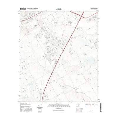
2016 Map of Lorena
USGS Topo · Published 2016About this map
The growing suburban corridor south of Waco is documented here as it appeared in the mid-2010s, showing the rapid development between Hewitt, Robinson, and Lorena. This region, once defined by ranching and cotton farming, is structured by the Interstate 35 corridor, which serves as a central spine for the landscape's modern evolution. While residential subdivisions like Woodway and Ritchie expand into former rural lands, the map preserves the location of older landmarks such as Lawson Cem. The drainage patterns of Bull Hide Cr and Castleman Cr provide a natural framework that still influences local infrastructure. Several private airfields, including Heathrow Airport and Rabbit Run Airport, suggest the decentralized, modern connectivity of this McLennan County area, while older sites like Atco recall the region's industrial transitions.
Find a feature on this map
203 named features on this map. Tap any name to fly to it.
Don’t see what you’re looking for? This feature index may not catch every label — zoom into the map to look around manually.
Map Details
Editions of this 2016 Lorena Map
This is the sole edition of this map. No revisions or reprints were ever made.
Other maps of this area

1892 · Temple
USGS Topo · 1:125,000

1892 · Waco
USGS Topo · 1:125,000

1920 · Waco
USGS Topo · 1:125,000

1924 · Waco 4-c
USGS Topo · 1:48,000

1924 · Waco 3-d
USGS Topo · 1:48,000

1931 · Valley Mills
USGS Topo · 1:62,500

1931 · Elm Mott
USGS Topo · 1:62,500

1931 · Mc Gregor
USGS Topo · 1:62,500

1954 · Waco
USGS Topo · 1:250,000

1955 · Waco
USGS Topo · 1:250,000