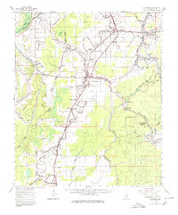
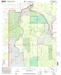
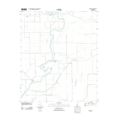
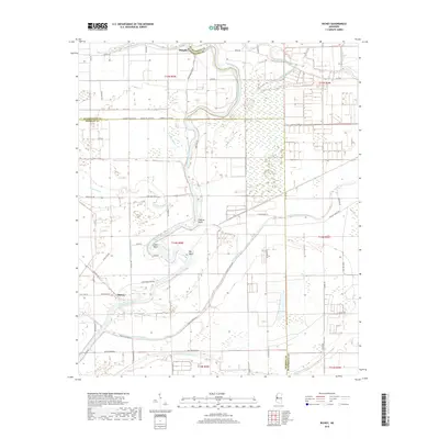
1964 Map of Lorenzen
USGS Topo · Published 1980About this map
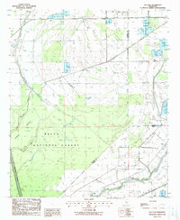
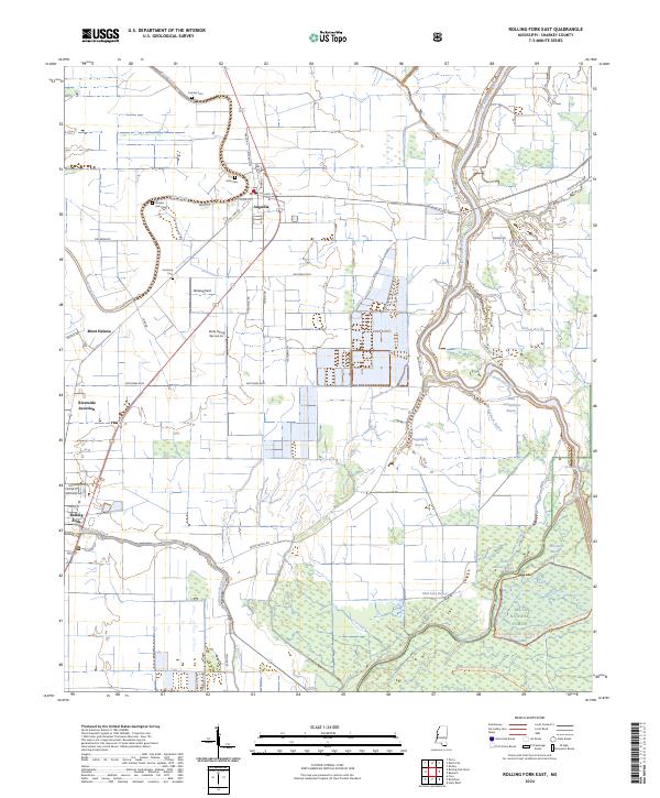
Indian Mound stands as a prominent landmark near Rolling Fork, highlighting the ancient landscape legacy of the Mississippi Delta. This 1960s-era survey reveals a densely patterned rural geography defined by the winding course of Deer Creek and the Illinois Central railroad corridor. The area is characterized by a high concentration of country churches and community burial grounds, such as Centrana Cem, Elmwood Cem, and Zion Ch Cem, which served the many small settlements and plantation landings along the waterways.
Find a feature on this map
90 named features on this map. Tap any name to fly to it.
Don’t see what you’re looking for? This feature index may not catch every label — zoom into the map to look around manually.
Map Details
Editions of this 1964 Lorenzen Map
2 editions found
Historical Maps of Rolling Fork Through Time
29 maps found
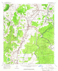
1939 Lorenzen
Sharkey County, MS
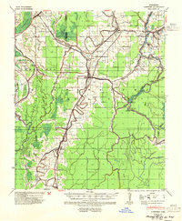
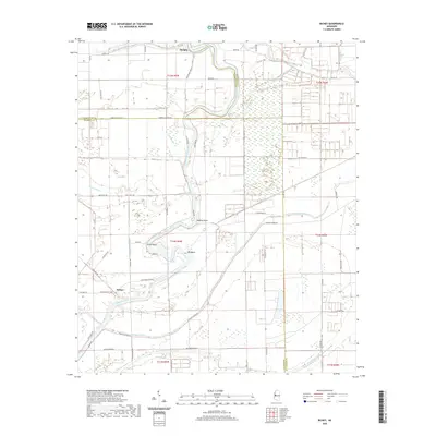
1964 Lorenzen
Sharkey County, MS
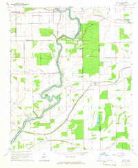
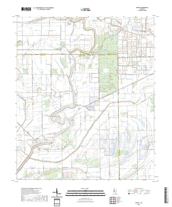
1965 Richey
Sharkey County, MS
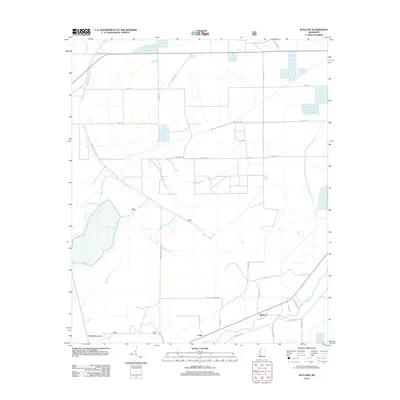
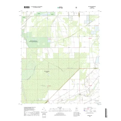
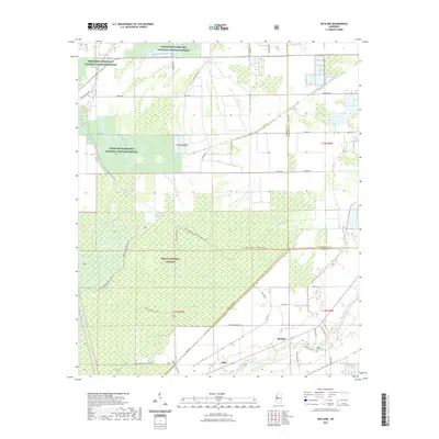
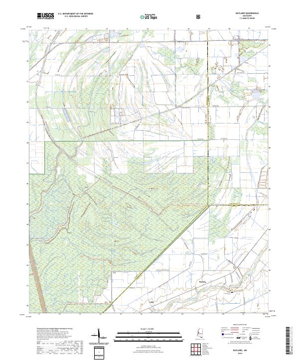
1988 Bayland
Sharkey County, MS
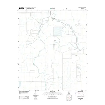
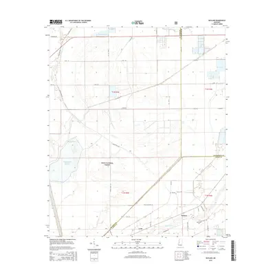
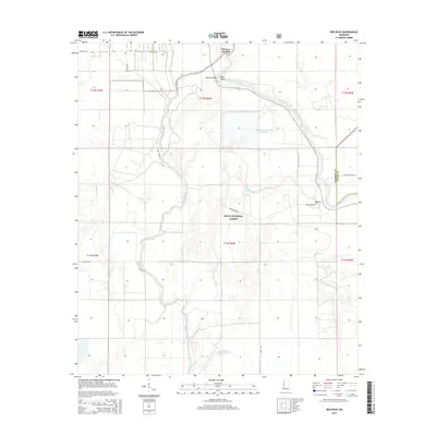
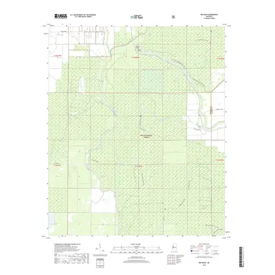
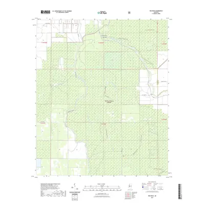
1988 Red Rock
Sharkey County, MS
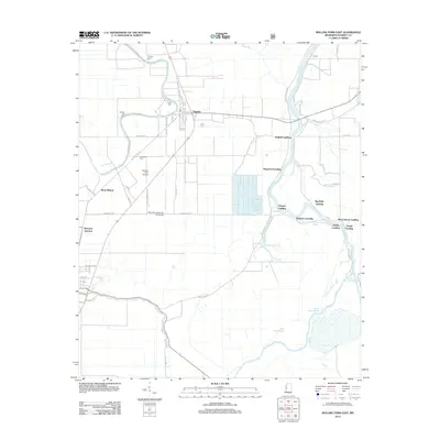
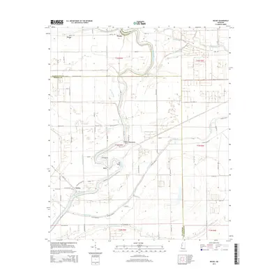
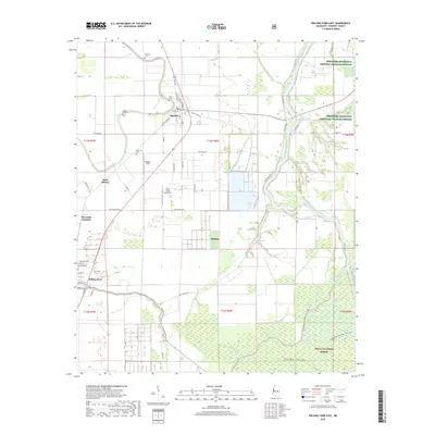
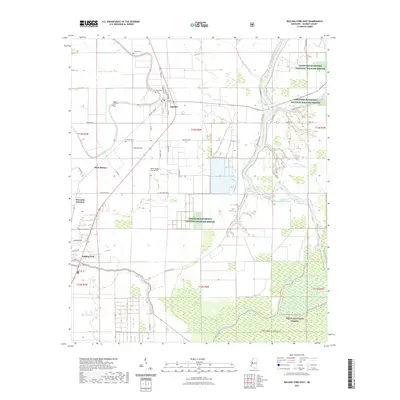
1988 Rolling Fork East
Sharkey County, MS
2000 Bayland
Sharkey County, MS
2000 Red Rock
Sharkey County, MS
2000 Rolling Fork East
Sharkey County, MS
2012 Bayland
Sharkey County, MS
2012 Red Rock
Sharkey County, MS
2012 Richey
Sharkey County, MS
2012 Rolling Fork East
Sharkey County, MS
2015 Bayland
Sharkey County, MS
2015 Red Rock
Sharkey County, MS
2015 Richey
Sharkey County, MS
2015 Rolling Fork East
Sharkey County, MS
2018 Bayland
Sharkey County, MS
2018 Red Rock
Sharkey County, MS
2018 Richey
Sharkey County, MS
2018 Rolling Fork East
Sharkey County, MS
2020 Richey
Sharkey County, MS
2021 Bayland
Sharkey County, MS
2021 Red Rock
Sharkey County, MS
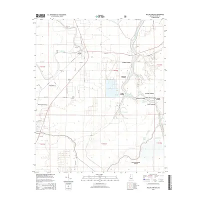
2021 Rolling Fork East
Sharkey County, MS
2024 Bayland
Sharkey County, MS

2024 Red Rock
Sharkey County, MS
2024 Richey
Sharkey County, MS
2024 Rolling Fork East
Sharkey County, MS