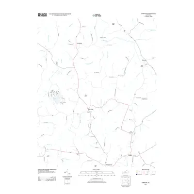
2013 Map of Loretto
USGS Topo · Published 2013About this map
Loretto and the surrounding Marion County countryside are defined by a network of rural settlements and family-named landmarks in this early 21st-century study. The landscape is punctuated by prominent elevations like Rohan Knob and Backbone Ridge, which overlook the winding course of the Beech Fork and its tributaries such as Pottinger Cr and Big Terrapin Run. The map provides significant genealogical value, documenting the locations of the Smocks Chapel Cem and the Thomas Burying Ground near Holy Cross.
Find a feature on this map
90 named features on this map. Tap any name to fly to it.
Don’t see what you’re looking for? This feature index may not catch every label — zoom into the map to look around manually.
Map Details
Editions of this 2013 Loretto Map
This is the sole edition of this map. No revisions or reprints were ever made.
Other maps of this area

1949 · Cravens
USGS Topo · 1:24,000

1949 · Shepherdsville
USGS Topo · 1:62,500

1953 · Howardstown
USGS Topo · 1:24,000

1953 · Loretto
USGS Topo · 1:24,000

1953 · Maud
USGS Topo · 1:24,000

1953 · Saint Catharine
USGS Topo · 1:24,000

1953 · Bardstown
USGS Topo · 1:24,000

1953 · New Haven
USGS Topo · 1:24,000

1953 · Raywick
USGS Topo · 1:24,000

1953 · Lebanon West
USGS Topo · 1:24,000