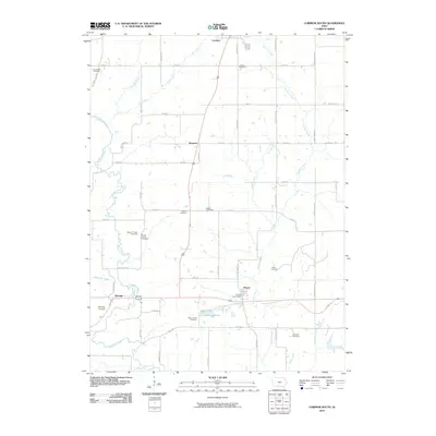
2010 Map of Lorimor South
USGS Topo · Published 2010About this map
The Thompson River winds through this section of southern Iowa, carving a valley that defines the landscape between Talmage and the surrounding uplands. In this 2010 survey, the rural character of the region is evident in its small settlements and numerous burial grounds, which serve as vital landmarks for local family history. Genealogists will find a high density of named sites, including the Brown Family Cemetery and the Mount Pisgah Cemetery, indicating early patterns of pioneer settlement and community centers that have persisted through the decades.
Find a feature on this map
52 named features on this map. Tap any name to fly to it.
Don’t see what you’re looking for? This feature index may not catch every label — zoom into the map to look around manually.
Map Details
Editions of this 2010 Lorimor South Map
This is the sole edition of this map. No revisions or reprints were ever made.
Other maps of this area

1951 · Osceola
USGS Topo · 1:62,500

1951 · Afton
USGS Topo · 1:62,500

1954 · Centerville
USGS Topo · 1:250,000

1954 · Omaha
USGS Topo · 1:250,000

1954 · Des Moines
USGS Topo · 1:250,000

1955 · Nebraska City
USGS Topo · 1:250,000

1956 · Des Moines
USGS Topo · 1:250,000

1957 · Des Moines
USGS Topo · 1:250,000

1957 · Nebraska City
USGS Topo · 1:250,000

1957 · Omaha
USGS Topo · 1:250,000