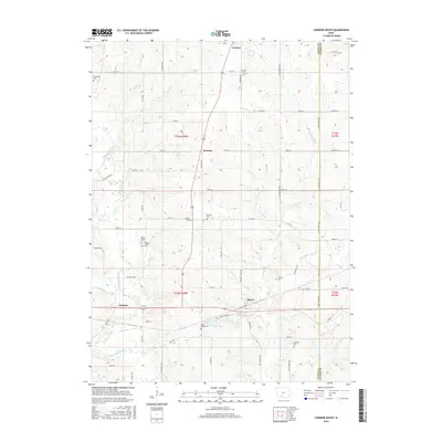
2015 Map of Lorimor South
USGS Topo · Published 2015About this map
Lorimor and Thayer anchor the northern and southern reaches of this landscape, where the headwaters of numerous creeks carve through the central Iowa terrain. This survey reveals a dense network of family and community history preserved in rural burial grounds, including the Brown Family Cem and Mount Pisgah Cem. The drainage patterns of Wolf Cr and Thompson River define the local topography, while the smaller settlements of Monette and Talmage mark the transport corridors of the early 21st century. High-resolution elevation data illustrates the intricate relationship between the agricultural plateaus and the deep-cut valleys of Fourmile Cr and Twomile Cr. For those researching local lineages, the distribution of names like Beulah Cem and Claypool Cem provides specific geographic markers of past generations.
Find a feature on this map
63 named features on this map. Tap any name to fly to it.
Don’t see what you’re looking for? This feature index may not catch every label — zoom into the map to look around manually.
Map Details
Editions of this 2015 Lorimor South Map
This is the sole edition of this map. No revisions or reprints were ever made.
Other maps of this area

1951 · Osceola
USGS Topo · 1:62,500

1951 · Afton
USGS Topo · 1:62,500

1954 · Centerville
USGS Topo · 1:250,000

1954 · Omaha
USGS Topo · 1:250,000

1954 · Des Moines
USGS Topo · 1:250,000

1955 · Nebraska City
USGS Topo · 1:250,000

1956 · Des Moines
USGS Topo · 1:250,000

1957 · Des Moines
USGS Topo · 1:250,000

1957 · Nebraska City
USGS Topo · 1:250,000

1957 · Omaha
USGS Topo · 1:250,000