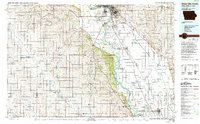
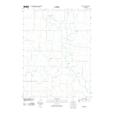
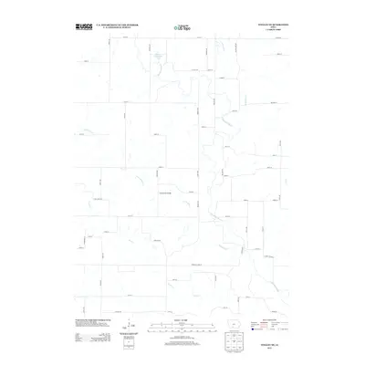
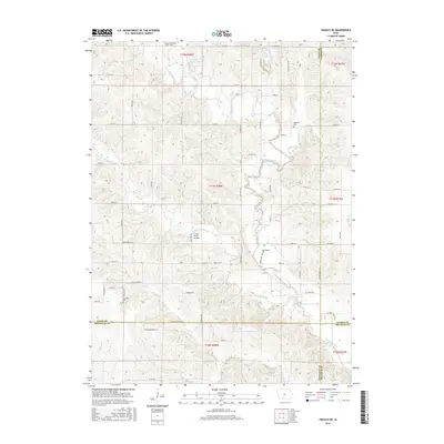
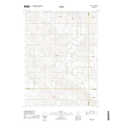
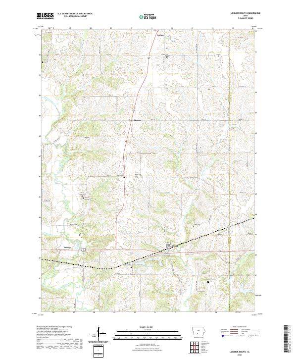
1983 Map of Lorimor South
USGS Topo · Published 1984About this map
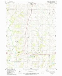
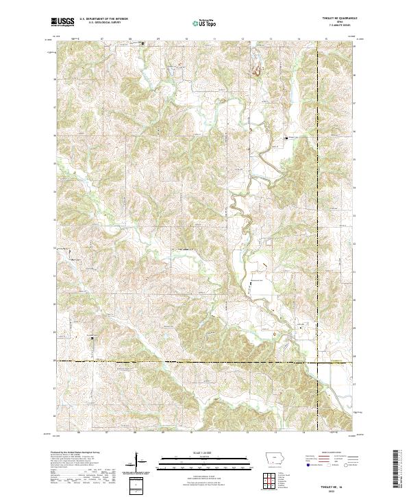
Lorimor serves as the primary northern anchor in this landscape of southern Iowa, where the Chicago And North Western railroad corridor cuts a distinct line south through the terrain toward Monette. The mapping of this area in the early 1980s reveals a rural landscape defined by the intersection of rail infrastructure and agricultural smallholdings. This survey, conducted by the U.S. Geological Survey in cooperation with the Iowa Geological Survey, documents the township and range boundaries that organized the settlement of Union County. The proximity of the railroad to small rail-stop communities like Monette underscores the historical importance of the line for local transport and commerce during the late twentieth century.
Find a feature on this map
2 named features on this map. Tap any name to fly to it.
Don’t see what you’re looking for? This feature index may not catch every label — zoom into the map to look around manually.
Map Details
Editions of this 1983 Lorimor South Map
This is the sole edition of this map. No revisions or reprints were ever made.
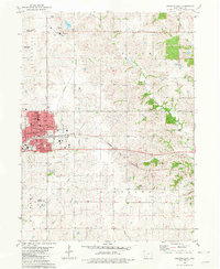
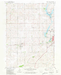
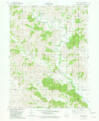
Historical Maps of Lorimor Through Time
25 maps found
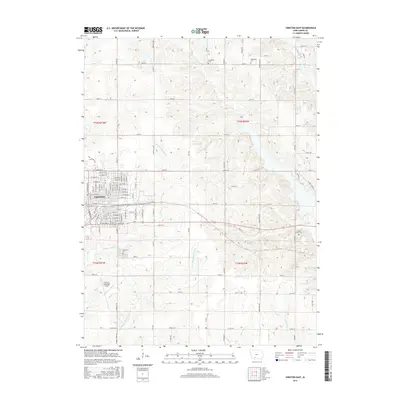
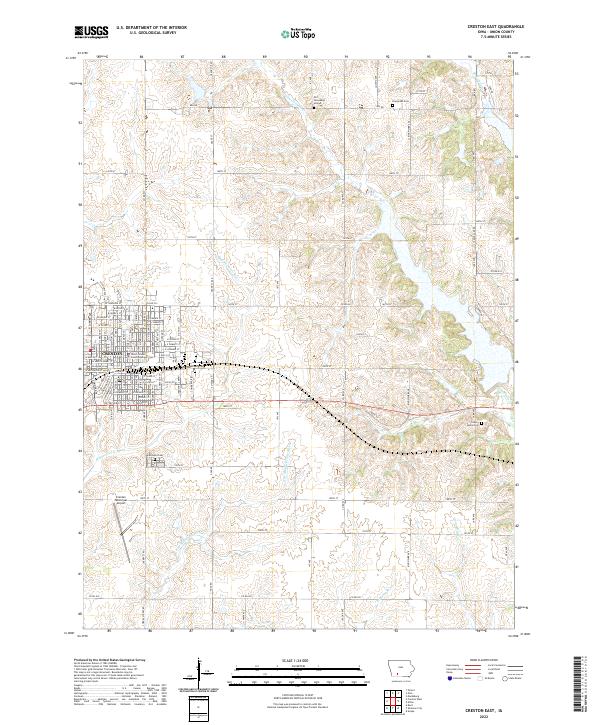
1980 Creston East
Union County, IA
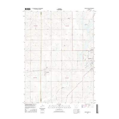
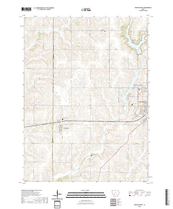
1981 Creston West
Union County, IA
1981 Tingley NE
Union County, IA
1983 Lorimor South
Union County, IA
1986 Sioux City South
Union County, IA
2010 Creston East
Union County, IA
2010 Creston West
Union County, IA
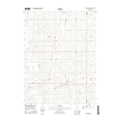
2010 Lorimor South
Union County, IA
2010 Tingley NE
Union County, IA
2013 Creston East
Union County, IA
2013 Creston West
Union County, IA
2013 Lorimor South
Union County, IA
2013 Tingley NE
Union County, IA
2015 Creston East
Union County, IA
2015 Creston West
Union County, IA
2015 Lorimor South
Union County, IA
2015 Tingley NE
Union County, IA
2018 Creston East
Union County, IA
2018 Creston West
Union County, IA
2018 Lorimor South
Union County, IA
2018 Tingley NE
Union County, IA
2022 Creston East
Union County, IA
2022 Creston West
Union County, IA
2022 Lorimor South
Union County, IA
2022 Tingley NE
Union County, IA