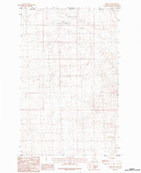
1984 Map of Loring NW
USGS Topo · Published 1984About this map
The international boundary between Saskatchewan and Montana defines the northern edge of this landscape, where the northern reaches of Phillips Co meet the border of the United States and Canada. The terrain is characterized by the winding path of Cottonwood Coulee, which carves through the prairie landscape in a region defined more by its drainage patterns and survey lines than by concentrated settlement. This provisional survey captures the remote character of the northern Montana plains during the mid-1970s and early 1980s, emphasizing the natural topography of the coulee system as it relates to the international border and provincial lines.
Find a feature on this map
4 named features on this map. Tap any name to fly to it.
Don’t see what you’re looking for? This feature index may not catch every label — zoom into the map to look around manually.
Map Details
Editions of this 1984 Loring NW Map
This is the sole edition of this map. No revisions or reprints were ever made.
Other maps of this area

1920 · Avery
USGS Topo · 1:125,000

1920 · Cowan
USGS Topo · 1:125,000

1953 · Havre
USGS Topo · 1:250,000

1954 · Glasgow
USGS Topo · 1:250,000

1957 · Glasgow
USGS Topo · 1:250,000

1957 · Havre
USGS Topo · 1:250,000

1958 · Glasgow
USGS Topo · 1:250,000

1958 · Havre
USGS Topo · 1:250,000

1984 · Morgan
USGS Topo · 1:24,000
1984 · Martin Lake
USGS Topo · 1:24,000