
1984 Map of Morgan
USGS Topo · Published 1984About this map
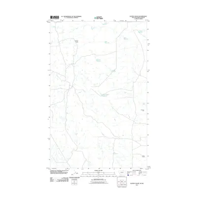
The borderlands of Phillips Co meet the international boundary in this 1984 study of the northern Montana plains. The map is centered on Morgan, a point of entry where the Canada-United States line intersects the landscape of Saskatchewan-Montana. The terrain is defined by the winding course of Whitewater Creek, which carves through the undulating prairie alongside Cottonwood Coulee. Local topographic landmarks including Sowers, Sowers NW, and Sowers SE provide a sense of the family-named features and ranching-related geography that characterize this region. This provisional edition preserves the sparse, wide-open character of the high plains before further modernization, documenting the vital drainage systems and boundary markers that defined life on the frontier fringe during the late twentieth century.
Find a feature on this map
9 named features on this map. Tap any name to fly to it.
Don’t see what you’re looking for? This feature index may not catch every label — zoom into the map to look around manually.
Map Details
Editions of this 1984 Morgan Map
This is the sole edition of this map. No revisions or reprints were ever made.
Other maps of this area

1920 · Cowan
USGS Topo · 1:125,000

1954 · Glasgow
USGS Topo · 1:250,000

1957 · Glasgow
USGS Topo · 1:250,000

1958 · Glasgow
USGS Topo · 1:250,000

1984 · Whitewater West
USGS Topo · 1:24,000
1984 · Loring NW
USGS Topo · 1:24,000
1984 · Martin Lake
USGS Topo · 1:24,000
1984 · Gustin Coulee
USGS Topo · 1:24,000
1984 · Loring
USGS Topo · 1:24,000
2011 · Gustin Coulee
USGS Topo · 1:24,000