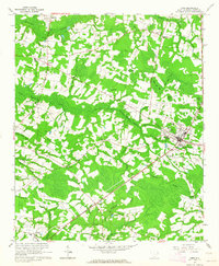
1962 Map of Loris
USGS Topo · Published 1964About this map
The Loris town center serves as the primary hub for this portion of Horry County, where the Atlantic Coast Line railroad cuts a diagonal path through the landscape. This 1962 survey reveals a rural economy deeply tied to the surrounding wetlands, with the expansive Pleasant Meadow Swamp and Mitchell Swamp dictating the placement of settlements and transport routes. Smaller communities like Green Sea, Finklea, and Allsbrook are centered around local churches and schools, such as Finklea High Sch and Silent Grove Ch.
Find a feature on this map
64 named features on this map. Tap any name to fly to it.
Don’t see what you’re looking for? This feature index may not catch every label — zoom into the map to look around manually.
Map Details
Editions of this 1962 Loris Map
2 editions found
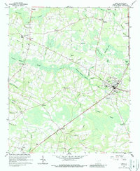
Other maps of this area

1937 · Nixonville
USGS Topo · 1:48,000

1942 · Nixonville
USGS Topo · 1:62,500

1943 · Adrian
USGS Topo · 1:24,000

1944 · Adrian
USGS Topo · 1:31,680

1948 · Bayboro
USGS Topo · 1:24,000

1949 · Bayboro
USGS Topo · 1:24,000

1949 · Duford
USGS Topo · 1:24,000

1949 · Georgetown
USGS Topo · 1:250,000

1953 · Florence
USGS Topo · 1:250,000

1954 · Florence
USGS Topo · 1:250,000