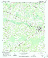
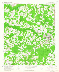
1962 Map of Loris
USGS Topo · Published 1987About this map
The town of Loris serves as a central hub in Horry County, defined by its position along the Atlantic Coast Line railroad. This 1962 survey reveals a landscape where rural crossroads like Jernigans Crossroads and Sarvis Crossroads anchor the surrounding agricultural and timber lands. The terrain is dominated by an intricate drainage system including Mitchell Swamp and Pleasant Meadow Swamp, which separate the various family-named settlements and churches. Notable local landmarks such as Finklea High Sch and the Radio Tower stand alongside numerous community spiritual centers like Mt Beulah Ch and Cane Branch Ch. Genealogists may find value in the specific placement of the Patterson Cem and Harrelson Cem, which remain distinct markers of the area's heritage during the mid-20th century.
Find a feature on this map
67 named features on this map. Tap any name to fly to it.
Don’t see what you’re looking for? This feature index may not catch every label — zoom into the map to look around manually.
Map Details
Editions of this 1962 Loris Map
2 editions found
Other maps of this area

1937 · Nixonville
USGS Topo · 1:48,000

1942 · Nixonville
USGS Topo · 1:62,500

1943 · Adrian
USGS Topo · 1:24,000

1944 · Adrian
USGS Topo · 1:31,680

1948 · Bayboro
USGS Topo · 1:24,000

1949 · Bayboro
USGS Topo · 1:24,000

1949 · Duford
USGS Topo · 1:24,000

1949 · Georgetown
USGS Topo · 1:250,000

1953 · Florence
USGS Topo · 1:250,000

1954 · Florence
USGS Topo · 1:250,000