Loading...
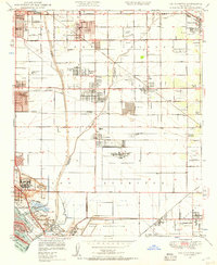
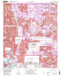
Loading map...1949 Map of Los Alamitos
USGS Topo · Published 1957About this map
The Naval Reservation and Cypress School of Aeronautics dominate the eastern landscape of this post-war coastal survey, reflecting the military and aviation priorities of the era. The region is transitioning from ranching roots, represented by the Bryant Ranch and Bixby Ranch, toward the dense suburbanization that would define southern California. Transportation networks including the Pacific Electric and Southern Pacific railroads crisscross the grid of developing communities like Artesia, Hawaiian Gardens, and Lakewood Village.
Find a feature on this map
57 named features on this map. Tap any name to fly to it.
Don’t see what you’re looking for? This feature index may not catch every label — zoom into the map to look around manually.
Map Details
Date Portrayed1949
Date Published1957
PublisherU.S. Geological Survey
Map TypeTopographic
Scale1:24000
Physical Dimensions22 x 26.8 inches
Editions of this 1949 Los Alamitos Map
2 editions found
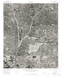
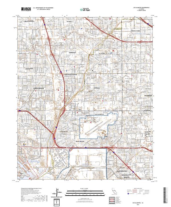
Historical Maps of La Palma Through Time
6 maps found
Featured Locations
Source Details
SourceU.S. Geological Survey
CopyrightPublic Domain