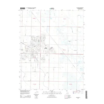
2015 Map of Los Banos
USGS Topo · Published 2015About this map
The Los Banos settlement anchors this survey, revealing a landscape defined by the sophisticated irrigation and drainage infrastructure of the Central Valley. Numerous waterways, including the San Pedro Canal, Lone Tree Canal, and Gadwall Canal, trace the agricultural development of the region. This 2015 edition provides a precise view of the local infrastructure, showing the proximity of Henry Miller Field and the Los Banos Municipal Airport to the growing residential core.
Find a feature on this map
144 named features on this map. Tap any name to fly to it.
Don’t see what you’re looking for? This feature index may not catch every label — zoom into the map to look around manually.
Map Details
Editions of this 2015 Los Banos Map
This is the sole edition of this map. No revisions or reprints were ever made.
Other maps of this area

1913 · Panoche
USGS Topo · 1:125,000

1916 · Delta Ranch
USGS Topo · 1:24,000

1918 · Turner Ranch
USGS Topo · 1:31,680

1919 · San Luis Ranch
USGS Topo · 1:31,680

1919 · Ingomar
USGS Topo · 1:31,680

1920 · Carrisalito Spring
USGS Topo · 1:31,680

1921 · Volta
USGS Topo · 1:31,680

1921 · Los Banos
USGS Topo · 1:31,680

1922 · Charleston School
USGS Topo · 1:31,680

1922 · Dos Palos
USGS Topo · 1:31,680