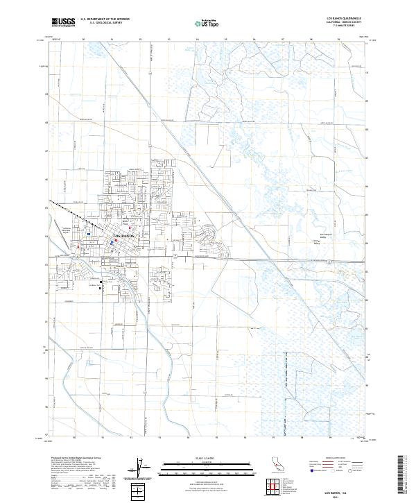
2021 Map of Los Banos
USGS Topo · Published 2021About this map
Los Banos serves as a central hub for this portion of the Central Valley in Merced County, anchored by a grid of residential streets and civic landmarks like The Robert M Falasco Justice Center. The landscape reflects the region's heavy reliance on water management, dominated by an intricate network of irrigation features including the San Pedro Canal, Lone Tree Canal, and the Gudwall Canal. These engineered waterways cut through the San Joaquin Valley floor, feeding the agricultural tracts that define the area's economy.
Find a feature on this map
43 named features on this map. Tap any name to fly to it.
Don’t see what you’re looking for? This feature index may not catch every label — zoom into the map to look around manually.
Map Details
Editions of this 2021 Los Banos Map
This is the sole edition of this map. No revisions or reprints were ever made.
Other maps of this area

1913 · Panoche
USGS Topo · 1:125,000

1916 · Delta Ranch
USGS Topo · 1:24,000

1918 · Turner Ranch
USGS Topo · 1:31,680

1919 · San Luis Ranch
USGS Topo · 1:31,680

1919 · Ingomar
USGS Topo · 1:31,680

1920 · Carrisalito Spring
USGS Topo · 1:31,680

1921 · Volta
USGS Topo · 1:31,680

1921 · Los Banos
USGS Topo · 1:31,680

1922 · Charleston School
USGS Topo · 1:31,680

1922 · Dos Palos
USGS Topo · 1:31,680