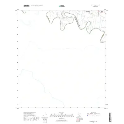
2019 Map of Los Ebanos
USGS Topo · Published 2019About this map
Los Ebanos occupies a prominent oxbow of the Rio Grande, a point on the international border where the river's winding course defines the boundary between the United States and Mexico. This survey highlights a rural landscape shaped by agricultural tracts and local family names, with residential clusters centered around Jose Garcia St and Julio Garza St. To the east, the historic settlement of Sam Fordyce and the community of Havana sit along the path of Military Rd, a corridor that follows the river's northern terrace. The map reveals the relationship between these Texas river towns and the floodplain, where land divisions often terminate at the water's edge, reflecting long-standing patterns of Hidalgo County settlement and land use near the Hidalgo County line.
Find a feature on this map
10 named features on this map. Tap any name to fly to it.
Don’t see what you’re looking for? This feature index may not catch every label — zoom into the map to look around manually.
Map Details
Editions of this 2019 Los Ebanos Map
This is the sole edition of this map. No revisions or reprints were ever made.
Other maps of this area

1940 · Monte Christo
USGS Topo · 1:62,500

1949 · Mc Allen
USGS Topo · 1:250,000

1954 · McAllen
USGS Topo · 1:250,000

1956 · Garcias
USGS Topo · 1:62,500

1956 · Los Ebanos
USGS Topo · 1:62,500

1957 · Mc Allen
USGS Topo · 1:250,000

1962 · McAllen
USGS Topo · 1:250,000

1963 · La Joya
USGS Topo · 1:24,000

1963 · Citrus City
USGS Topo · 1:24,000

1965 · La Grulla
USGS Topo · 1:24,000