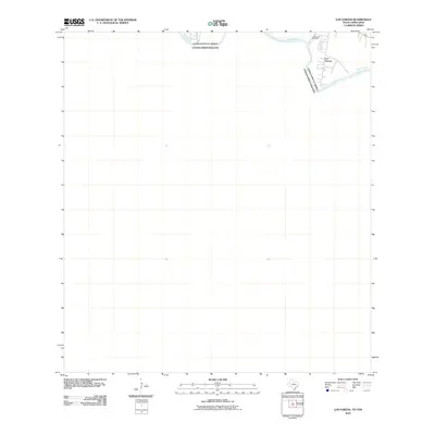
2010 Map of Los Garzas
USGS Topo · Published 2010About this map
The Rio Grande snakes through the northeastern corner of this border survey, serving as the international boundary between the United States and Mexico. On the northern bank, the small settlement of Los Garzas is concentrated along the river, defined by a modest grid of roads including Se Pulvedas Cir. This specific location highlights the close proximity of riverside communities to the international line before 2010. Local history and genealogy are centered on the Los Garzas Cemetery, which sits just northwest of the main residential cluster. While much of the surrounding quadrangle remains open space, this corner of the map captures the essential road network and water access that sustained this border community.
Find a feature on this map
5 named features on this map. Tap any name to fly to it.
Don’t see what you’re looking for? This feature index may not catch every label — zoom into the map to look around manually.
Map Details
Editions of this 2010 Los Garzas Map
This is the sole edition of this map. No revisions or reprints were ever made.
Other maps of this area

1949 · Mc Allen
USGS Topo · 1:250,000

1954 · McAllen
USGS Topo · 1:250,000

1956 · Escobares
USGS Topo · 1:62,500

1956 · Roma
USGS Topo · 1:62,500

1957 · Mc Allen
USGS Topo · 1:250,000

1962 · McAllen
USGS Topo · 1:250,000

1965 · Rio Grande City South
USGS Topo · 1:24,000

1965 · Los Garzas
USGS Topo · 1:24,000
1965 · Rio Grande City North
USGS Topo · 1:24,000
1965 · Roma-Los Saenz East
USGS Topo · 1:24,000