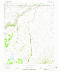
1963 Map of Los Pinos
USGS Topo · Published 1978About this map
The Denver and Rio Grande Western railroad corridor defines the northern reach of this landscape, winding through the high country along the Colorado and New Mexico state line. This 1963 field-checked survey captures the rail-side infrastructure of the era, including a water tower at Lava and a gaging station along the Rio de los Pinos. The small settlements of Ortiz and Los Pinos sit near the river confluence, serving as touchstones for the high-altitude ranching and transit history of Rio Arriba County.
Find a feature on this map
21 named features on this map. Tap any name to fly to it.
Don’t see what you’re looking for? This feature index may not catch every label — zoom into the map to look around manually.
Map Details
Editions of this 1963 Los Pinos Map
2 editions found
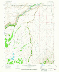
Other maps of this area

1918 · Tusas
USGS Topo · 1:125,000

1922 · Conejos
USGS Topo · 1:125,000

1945 · Durango
USGS Topo · 1:250,000

1953 · Durango
USGS Topo · 1:250,000

1954 · Durango
USGS Topo · 1:250,000

1954 · Raton
USGS Topo · 1:250,000

1954 · Trinidad
USGS Topo · 1:250,000

1954 · Aztec
USGS Topo · 1:250,000

1955 · Trinidad
USGS Topo · 1:250,000

1958 · Raton
USGS Topo · 1:250,000