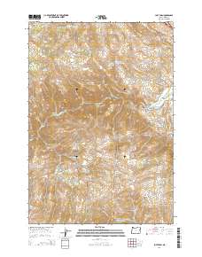
2014 Map of Lost Basin
USGS Topo · Published 2014About this map
Lost Basin sits within the high-relief landscape of Baker County, where the Burnt River cuts through the deeply carved Burnt River Canyon. This 2014 survey reveals a territory defined by complex drainage systems and water management, evidenced by the presence of Banks Ditch and reservoirs like Kirby Reservoir and True Blue Reservoir. The land use is heavily tied to the terrain, with agricultural activity likely following the floor of Durkee Valley while the surrounding heights, including Sheep Mtn, are marked by numerous springs and waterholes.
Find a feature on this map
34 named features on this map. Tap any name to fly to it.
Don’t see what you’re looking for? This feature index may not catch every label — zoom into the map to look around manually.
Map Details
Editions of this 2014 Lost Basin Map
This is the sole edition of this map. No revisions or reprints were ever made.
Other maps of this area

1901 · Baker City
USGS Topo · 1:125,000

1915 · Pine
USGS Topo · 1:125,000

1951 · Huntington
USGS Topo · 1:62,500

1955 · Baker
USGS Topo · 1:250,000

1957 · Durkee
USGS Topo · 1:62,500

1959 · Baker
USGS Topo · 1:250,000

1964 · Bridgeport
USGS Topo · 1:62,500

1967 · Encina
USGS Topo · 1:24,000

1967 · French Gulch
USGS Topo · 1:24,000

1967 · Lost Basin
USGS Topo · 1:24,000