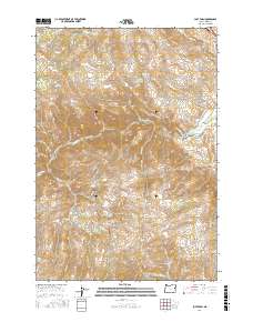
2017 Map of Lost Basin
USGS Topo · Published 2017About this map
Lost Basin and the surrounding high country of Baker County define this landscape as it appeared in the late twenty-teens. The drainage of the Burnt River dominates the central terrain, carving through Burnt River Canyon and into Durkee Valley. These water sources were historically vital for local ranching and mining operations, evidenced by irrigation infrastructure like Banks Ditch and numerous isolated water points such as Coyote Waterhole.
Find a feature on this map
43 named features on this map. Tap any name to fly to it.
Don’t see what you’re looking for? This feature index may not catch every label — zoom into the map to look around manually.
Map Details
Editions of this 2017 Lost Basin Map
This is the sole edition of this map. No revisions or reprints were ever made.
Other maps of this area

1901 · Baker City
USGS Topo · 1:125,000

1915 · Pine
USGS Topo · 1:125,000

1951 · Huntington
USGS Topo · 1:62,500

1955 · Baker
USGS Topo · 1:250,000

1957 · Durkee
USGS Topo · 1:62,500

1959 · Baker
USGS Topo · 1:250,000

1964 · Bridgeport
USGS Topo · 1:62,500

1967 · Encina
USGS Topo · 1:24,000

1967 · French Gulch
USGS Topo · 1:24,000

1967 · Lost Basin
USGS Topo · 1:24,000