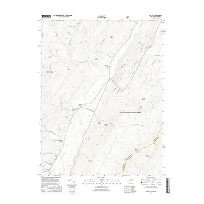
2016 Map of Lost City
USGS Topo · Published 2016About this map
The Lost River meanders through this Appalachian corridor, anchoring the small valley settlements of Lost City and Mathias in Hardy County. This 2016 survey illustrates a landscape of narrow hollows and high ridges, including Shoemaker Hollow and Whetzel Hollow, where small family cemeteries like Cedar Hill Cem and Greenwood Cem mark the heritage of the upland valleys. The terrain is dominated by the massive presence of the George Washington National Forest, covering the eastern highlands of Great North Mountain and Falls Ridge.
Find a feature on this map
75 named features on this map. Tap any name to fly to it.
Don’t see what you’re looking for? This feature index may not catch every label — zoom into the map to look around manually.
Map Details
Editions of this 2016 Lost City Map
This is the sole edition of this map. No revisions or reprints were ever made.
Other maps of this area

1891 · Romney
USGS Topo · 1:125,000

1892 · Woodstock
USGS Topo · 1:125,000

1920 · Moorefield
USGS Topo · 1:62,500

1921 · Orkney Springs
USGS Topo · 1:48,000

1921 · Moorefield
USGS Topo · 1:48,000

1922 · Moorefield
USGS Topo · 1:62,500

1922 · Wardensville
USGS Topo · 1:62,500

1923 · Orkney Springs
USGS Topo · 1:62,500

1923 · Edinburg
USGS Topo · 1:62,500

1924 · Wardensville
USGS Topo · 1:62,500