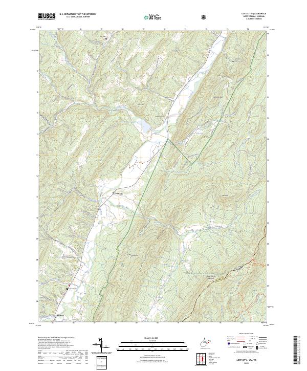
2023 Map of Lost City
USGS Topo · Published 2023About this map
Lost City and Mathias serve as the primary human anchors in this mountainous portion of Hardy County, where the terrain is dominated by the ridges of the Appalachian landscape. The Lost River snakes through the valley floor, flanked by steep elevations like Little Ridge and Cave Mountain. To the east, the boundary of the George Washington National Forest follows the high spine of Great North Mountain, marking the state line between West Virginia and Virginia. Several small family or community burial grounds, including Greenwood Cem and Cedar Hill Cem, are located near the valley roads. This 2023 survey documents a landscape where traditional Appalachian settlements are connected by routes like Kimseys Run Rd and State Rte 59, reflecting a long-standing pattern of development confined to the narrow runs and hollows between formidable peaks such as Hommon Mtn.
Find a feature on this map
85 named features on this map. Tap any name to fly to it.
Don’t see what you’re looking for? This feature index may not catch every label — zoom into the map to look around manually.
Map Details
Editions of this 2023 Lost City Map
This is the sole edition of this map. No revisions or reprints were ever made.
Other maps of this area

1891 · Romney
USGS Topo · 1:125,000

1892 · Woodstock
USGS Topo · 1:125,000

1920 · Moorefield
USGS Topo · 1:62,500

1921 · Orkney Springs
USGS Topo · 1:48,000

1921 · Moorefield
USGS Topo · 1:48,000

1922 · Moorefield
USGS Topo · 1:62,500

1922 · Wardensville
USGS Topo · 1:62,500

1923 · Orkney Springs
USGS Topo · 1:62,500

1923 · Edinburg
USGS Topo · 1:62,500

1924 · Wardensville
USGS Topo · 1:62,500