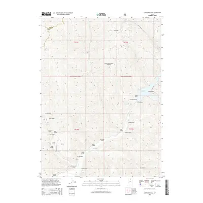
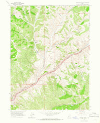
2014 Map of Lost Creek Dam
USGS Topo · Published 2014About this map
Lost Creek Dam and its resulting Lost Creek Reservoir anchor this 2014 survey of the high-elevation boundary between Weber and Morgan counties. The landscape is dominated by the steep, intricately dissected canyons of the Cache National Forest, including notable drainages like Francis Canyon, Hell Canyon, and Paradise Canyon. Higher elevations are marked by prominent landmarks such as Guilder Peak and Stark Ridge, providing a clear picture of the region's complex topography.
Find a feature on this map
41 named features on this map. Tap any name to fly to it.
Don’t see what you’re looking for? This feature index may not catch every label — zoom into the map to look around manually.
Map Details
Editions of this 2014 Lost Creek Dam Map
This is the sole edition of this map. No revisions or reprints were ever made.
Other maps of this area

1954 · Ogden
USGS Topo · 1:250,000

1958 · Ogden
USGS Topo · 1:250,000

1960 · Ogden
USGS Topo · 1:250,000
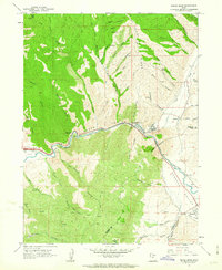
1961 · Devils Slide
USGS Topo · 1:24,000

1961 · Morgan
USGS Topo · 1:62,500

1964 · Lost Creek Dam
USGS Topo · 1:24,000

1964 · Francis Canyon
USGS Topo · 1:24,000
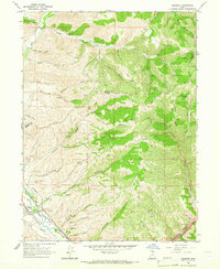
1964 · Henefer
USGS Topo · 1:24,000
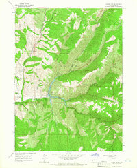
1964 · Causey Dam
USGS Topo · 1:24,000
1964 · Heiners Creek
USGS Topo · 1:24,000