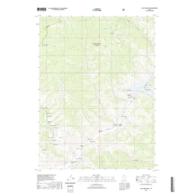
2020 Map of Lost Creek Dam
USGS Topo · Published 2020About this map
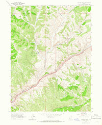
Lost Creek Reservoir serves as the central landmark of this high-elevation terrain along the border of Weber and Morgan counties. Formed by the Lost Creek Dam, the waters reach into Francis Canyon and Spring Hollow, providing a stark contrast to the surrounding ridges of the Cache National Forest. The landscape is defined by a dense network of drainages and named canyons, including Paradise Canyon, Stokes Canyon, and Wheatgrass Canyon, which weave between high points like Guilder Peak and the prominent Stark Ridge.
Find a feature on this map
38 named features on this map. Tap any name to fly to it.
Don’t see what you’re looking for? This feature index may not catch every label — zoom into the map to look around manually.
Map Details
Editions of this 2020 Lost Creek Dam Map
This is the sole edition of this map. No revisions or reprints were ever made.
Other maps of this area

1954 · Ogden
USGS Topo · 1:250,000

1958 · Ogden
USGS Topo · 1:250,000

1960 · Ogden
USGS Topo · 1:250,000
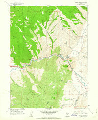
1961 · Devils Slide
USGS Topo · 1:24,000

1961 · Morgan
USGS Topo · 1:62,500

1964 · Lost Creek Dam
USGS Topo · 1:24,000

1964 · Francis Canyon
USGS Topo · 1:24,000
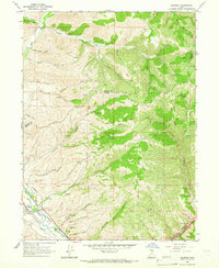
1964 · Henefer
USGS Topo · 1:24,000
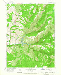
1964 · Causey Dam
USGS Topo · 1:24,000
1964 · Heiners Creek
USGS Topo · 1:24,000