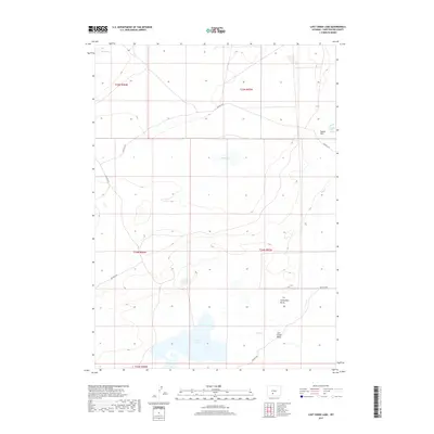
2017 Map of Lost Creek Lake
USGS Topo · Published 2017About this map
Lost Creek Lake and the surrounding high desert of Sweetwater County are defined by their hydrologic isolation and sparse Bureau of Land Management road networks. This high-altitude basin landscape features seasonal water sources and landmarks that have long guided travel across the Great Divide Basin. Notable topographic features include the Caterpillar Butte prominence and the Eagles Nest formation, which sits near the vital Eagles Nest Spring.
Find a feature on this map
16 named features on this map. Tap any name to fly to it.
Don’t see what you’re looking for? This feature index may not catch every label — zoom into the map to look around manually.
Map Details
Editions of this 2017 Lost Creek Lake Map
This is the sole edition of this map. No revisions or reprints were ever made.
Other maps of this area

1954 · Rock Springs
USGS Topo · 1:250,000

1955 · Lander
USGS Topo · 1:250,000

1958 · Lander
USGS Topo · 1:250,000

1958 · Rock Springs
USGS Topo · 1:250,000

1960 · Red Lake
USGS Topo · 1:62,500

1960 · Lost Creek Butte
USGS Topo · 1:62,500

1960 · Five Fingers Butte
USGS Topo · 1:62,500

1960 · Lost Creek Lake
USGS Topo · 1:62,500

1961 · Lander
USGS Topo · 1:250,000

1962 · Rock Springs
USGS Topo · 1:250,000