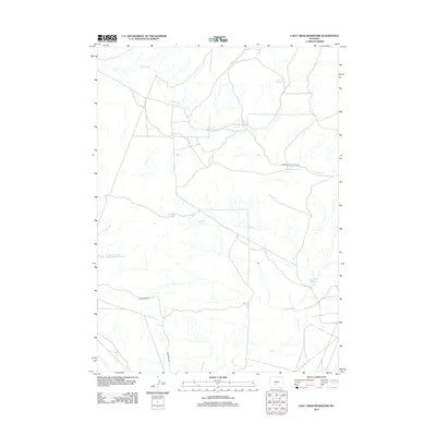
2012 Map of Lost Creek Reservoir
USGS Topo · Published 2012About this map
Lost Creek Reservoir and its surrounding drainage systems characterize this 2012 topographic study of a remote segment of Sweetwater County. The landscape is defined by its seasonal and perennial water sources, where the meandering Lost Cr and E Alkali Cr provide the primary hydraulic structure across the high desert terrain. Notable catchments like the Stinking Springs Reservoir indicate a reliance on water management in an area largely dominated by open range and public land management.
Find a feature on this map
9 named features on this map. Tap any name to fly to it.
Don’t see what you’re looking for? This feature index may not catch every label — zoom into the map to look around manually.
Map Details
Editions of this 2012 Lost Creek Reservoir Map
This is the sole edition of this map. No revisions or reprints were ever made.
Other maps of this area

1951 · Soap Holes
USGS Topo · 1:24,000

1951 · Crooks Mountain
USGS Topo · 1:24,000

1953 · Happy Spring
USGS Topo · 1:24,000

1955 · Lander
USGS Topo · 1:250,000

1955 · Casper
USGS Topo · 1:250,000

1958 · Casper
USGS Topo · 1:250,000

1958 · Lander
USGS Topo · 1:250,000

1960 · Lost Creek Lake
USGS Topo · 1:62,500

1961 · Lander
USGS Topo · 1:250,000
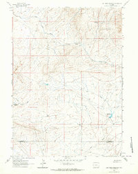
1961 · Lost Creek Reservoir
USGS Topo · 1:24,000