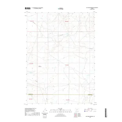
2017 Map of Lost Creek Reservoir
USGS Topo · Published 2017About this map
Stinking Springs Draw and its nearby Stinking Springs Reservoir dominate this high-desert reach of the Great Divide Basin. This 2017 survey by the U.S. Geological Survey details a landscape shaped by intermittent hydrology and isolated water sources such as Tierney Spring and Chicken Springs. The area sits along the boundary of Fremont and Sweetwater counties, defined by a network of primitive tracks and remote corridors. The Riverview Cutoff and Bison Basin Rd provide the primary transit through these sagebrush-covered plains. The presence of both Lost Cr Reservoir and the drainage of E Alkali Cr illustrates the crucial role of seasonal water management in this arid cattle and sheep-grazing country. This map offers a modern look at the public lands of the Red Desert, documenting the specific ranching and industrial access routes that crisscross the region.
Find a feature on this map
17 named features on this map. Tap any name to fly to it.
Don’t see what you’re looking for? This feature index may not catch every label — zoom into the map to look around manually.
Map Details
Editions of this 2017 Lost Creek Reservoir Map
This is the sole edition of this map. No revisions or reprints were ever made.
Other maps of this area

1951 · Soap Holes
USGS Topo · 1:24,000

1951 · Crooks Mountain
USGS Topo · 1:24,000

1953 · Happy Spring
USGS Topo · 1:24,000

1955 · Lander
USGS Topo · 1:250,000

1955 · Casper
USGS Topo · 1:250,000

1958 · Casper
USGS Topo · 1:250,000

1958 · Lander
USGS Topo · 1:250,000

1960 · Lost Creek Lake
USGS Topo · 1:62,500

1961 · Lander
USGS Topo · 1:250,000
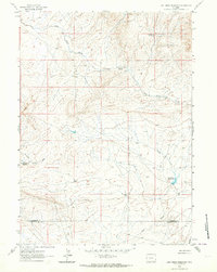
1961 · Lost Creek Reservoir
USGS Topo · 1:24,000