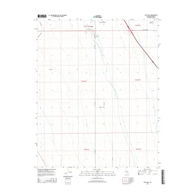
2015 Map of Lost Hills
USGS Topo · Published 2015About this map
Lost Hills occupies a distinct topographic rise within the vast floor of the San Joaquin Valley, where the western edge of the Central Valley meets the foothills. This 2015 record illustrates the critical role of water management in the region's agricultural landscape, dominated by the massive Governor Edmund G Brown California Aqueduct and the W Side Canal as they traverse the terrain. The community of Lost Hills itself is clustered around a grid of local streets like Universal St and Kings St, positioned just east of the Lost Hills-Kern County Airport. The surrounding landscape is defined by the rigid geometry of the Public Land Survey System, with roads such as Lost Hills Rd and Holloway Rd following section lines across the oil-rich and agricultural geography of Kern County.
Find a feature on this map
23 named features on this map. Tap any name to fly to it.
Don’t see what you’re looking for? This feature index may not catch every label — zoom into the map to look around manually.
Map Details
Editions of this 2015 Lost Hills Map
This is the sole edition of this map. No revisions or reprints were ever made.
Other maps of this area

1912 · McKittrick
USGS Topo · 1:125,000

1914 · Lost Hills
USGS Topo · 1:125,000

1927 · Semitropic
USGS Topo · 1:31,680

1930 · Miramonte Ranch
USGS Topo · 1:31,680

1931 · Lokern
USGS Topo · 1:31,680

1931 · Goose Lake
USGS Topo · 1:31,680

1932 · Antelope Plain
USGS Topo · 1:31,680

1932 · West of Goose Lake
USGS Topo · 1:31,680

1932 · Reynolds Ranch
USGS Topo · 1:31,680

1934 · Lokern
USGS Topo · 1:31,680