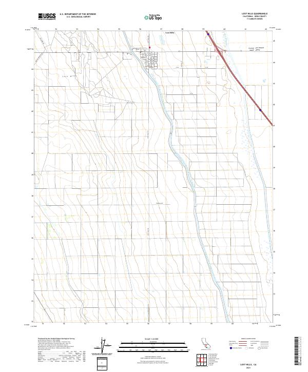
2021 Map of Lost Hills
USGS Topo · Published 2021About this map
The community of Lost Hills serves as a concentrated grid of residential streets within the expansive agricultural landscape of the San Joaquin Valley. This 2021 survey illustrates a region defined by massive water management infrastructure, most notably the Governor Edmund G Brown California Aqueduct as it snakes southward through the terrain. The presence of the Kern River Flood Canal, the Kern R Channel, and the W Side Canal indicates the intensive irrigation and flood control systems required to sustain the Central Valley's productive fields.
Find a feature on this map
34 named features on this map. Tap any name to fly to it.
Don’t see what you’re looking for? This feature index may not catch every label — zoom into the map to look around manually.
Map Details
Editions of this 2021 Lost Hills Map
This is the sole edition of this map. No revisions or reprints were ever made.
Other maps of this area

1912 · McKittrick
USGS Topo · 1:125,000

1914 · Lost Hills
USGS Topo · 1:125,000

1927 · Semitropic
USGS Topo · 1:31,680

1930 · Miramonte Ranch
USGS Topo · 1:31,680

1931 · Lokern
USGS Topo · 1:31,680

1931 · Goose Lake
USGS Topo · 1:31,680

1932 · Antelope Plain
USGS Topo · 1:31,680

1932 · West of Goose Lake
USGS Topo · 1:31,680

1932 · Reynolds Ranch
USGS Topo · 1:31,680

1934 · Lokern
USGS Topo · 1:31,680