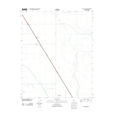
2012 Map of Lost Hills NW
USGS Topo · Published 2012About this map
Gilbert Ranch and the open agricultural landscapes of the San Joaquin Valley define this 2012 survey. The area is heavily shaped by complex water management systems, including the Governor Edmund G Brown California Aqueduct and the Kern River Channel, alongside the Goose Lake Canal and W Side Canal. These features illustrate the infrastructure required to support large-scale ranching and farming in this arid region of Kern County.
Find a feature on this map
14 named features on this map. Tap any name to fly to it.
Don’t see what you’re looking for? This feature index may not catch every label — zoom into the map to look around manually.
Map Details
Editions of this 2012 Lost Hills NW Map
This is the sole edition of this map. No revisions or reprints were ever made.
Other maps of this area

1914 · Lost Hills
USGS Topo · 1:125,000

1927 · Semitropic
USGS Topo · 1:31,680

1929 · Hacienda Ranch
USGS Topo · 1:31,680

1930 · Miramonte Ranch
USGS Topo · 1:31,680

1931 · Goose Lake
USGS Topo · 1:31,680

1932 · Antelope Plain
USGS Topo · 1:31,680

1932 · West of Goose Lake
USGS Topo · 1:31,680

1932 · Reynolds Ranch
USGS Topo · 1:31,680

1932 · West Camp
USGS Topo · 1:31,680

1932 · Lone Tree Well
USGS Topo · 1:31,680