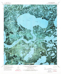
1974 Map of Lost Lake
USGS Topo · Published 1976About this map
Lost Lake dominates this coastal Louisiana landscape, situated in a complex network of wetlands and tidal channels in Terrebonne Parish. In the mid-1970s, the area's hydrology was defined by the winding course of Blue Hammock Bayou and the tidal exchange through Lost Lake Pass. The map reveals the early industrial footprint on the marsh, with several Gas Wells and a Drill Hole indicating active energy exploration among the native waterways.
Find a feature on this map
26 named features on this map. Tap any name to fly to it.
Don’t see what you’re looking for? This feature index may not catch every label — zoom into the map to look around manually.
Map Details
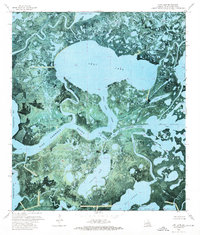
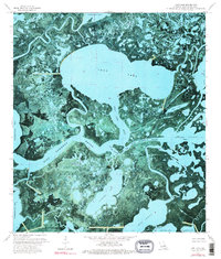
Editions of this 1974 Lost Lake Map
3 editions found
Other maps of this area

1894 · Bayou De Large
USGS Topo · 1:62,500

1932 · Lake Decade
USGS Topo · 1:62,500

1935 · Lake Mechant
USGS Topo · 1:31,680

1935 · Lake Penchant
USGS Topo · 1:31,680

1935 · Oyster Bayou
USGS Topo · 1:62,500

1940 · Bayou Du Large
USGS Topo · 1:62,500

1941 · Bayou Du Large
USGS Topo · 1:62,500

1944 · Bayou Du Large
USGS Topo · 1:62,500

1945 · New Orleans
USGS Topo · 1:250,000

1949 · Grand Bayou Du Large
USGS Topo · 1:31,680